Project Background
The Foster City levee system, surrounding the majority of the outer bay front perimeter of the City, is crucial in providing protection from flood hazards and storms. In 2014, the Federal Emergency Management Agency (FEMA) determined that the City’s levee system did not meet minimum requirements for flood protection. In order to maintain FEMA accreditation and keep Foster City properties out of the flood zone, Foster City voters approved Measure P in 2018 with nearly 81% support, authorizing the City to issue a $90 million general obligation (GO) bond to improve and strengthen the Foster City levee system. Measure P will cost the property owner approximately $40 per $100,000 of assessed (not market) property value annually for levee improvements for 30 years instead of the estimated $2,000-$3,000 or more per year in flood insurance indefinitely. The measure provided funds to strengthen the levee to meet FEMA standards, keeping Foster City properties out of the flood zone and allowing residents to avoid mandatory expensive flood insurance.
The improved levee allows Foster City to maintain FEMA accreditation, defends essential city services during storms, and offers enhanced protections in case of an earthquake. Construction of these significant improvements began in October of 2020, and finished in February of 2024. With the work completed, Foster City’s improved levee (which is now more resistant to earthquake damage) better protects homes, schools, businesses, and essential City services and infrastructure from storms and high tide. The top of the wall allows for sea level rise and will provide protection against wave run-up, for years to come.
What was the Project Timeline?

The above graphic shows a timeline of the project construction activities, including interim milestones for Phases 1, 2 and 3.
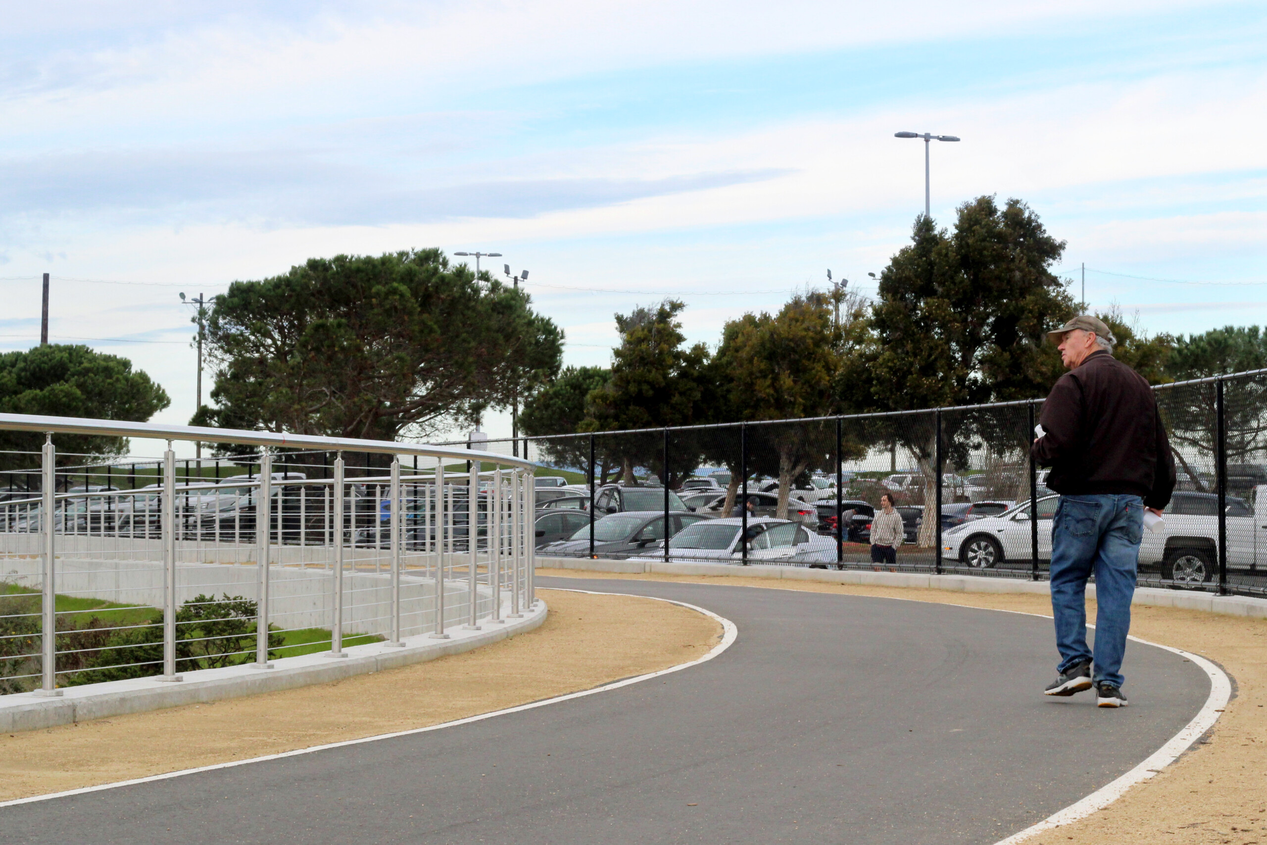
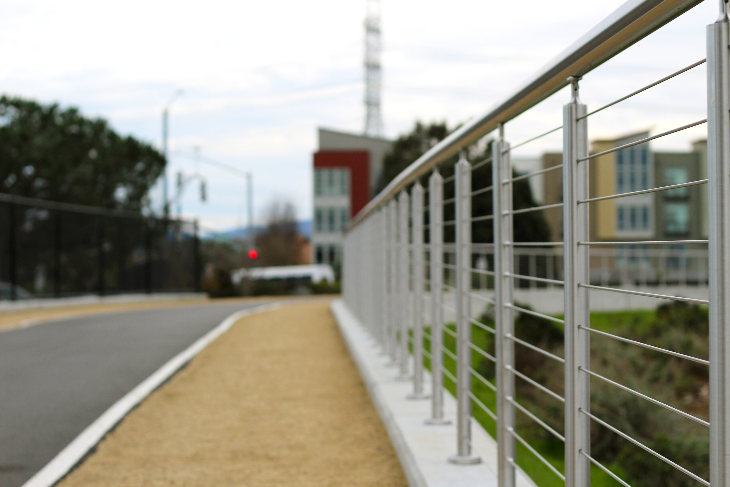
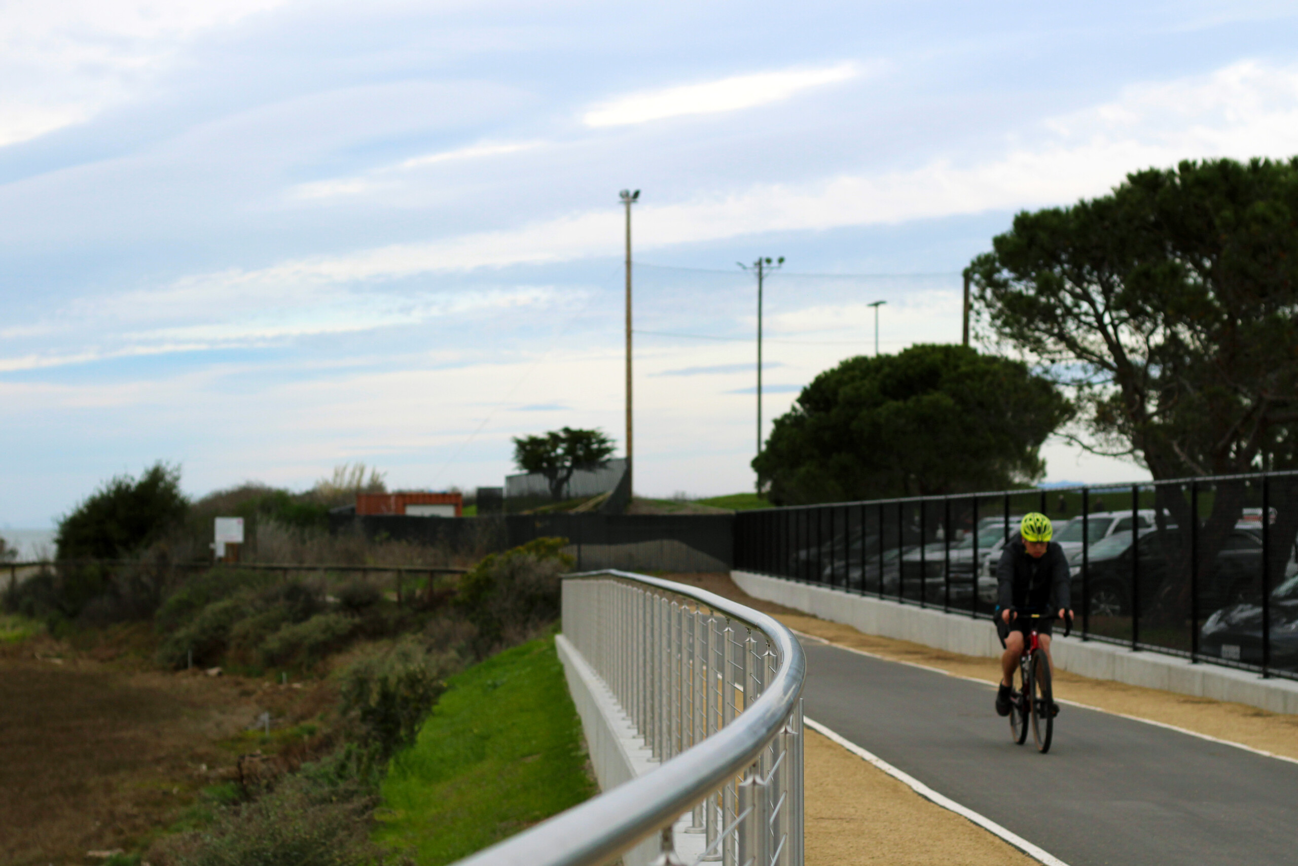
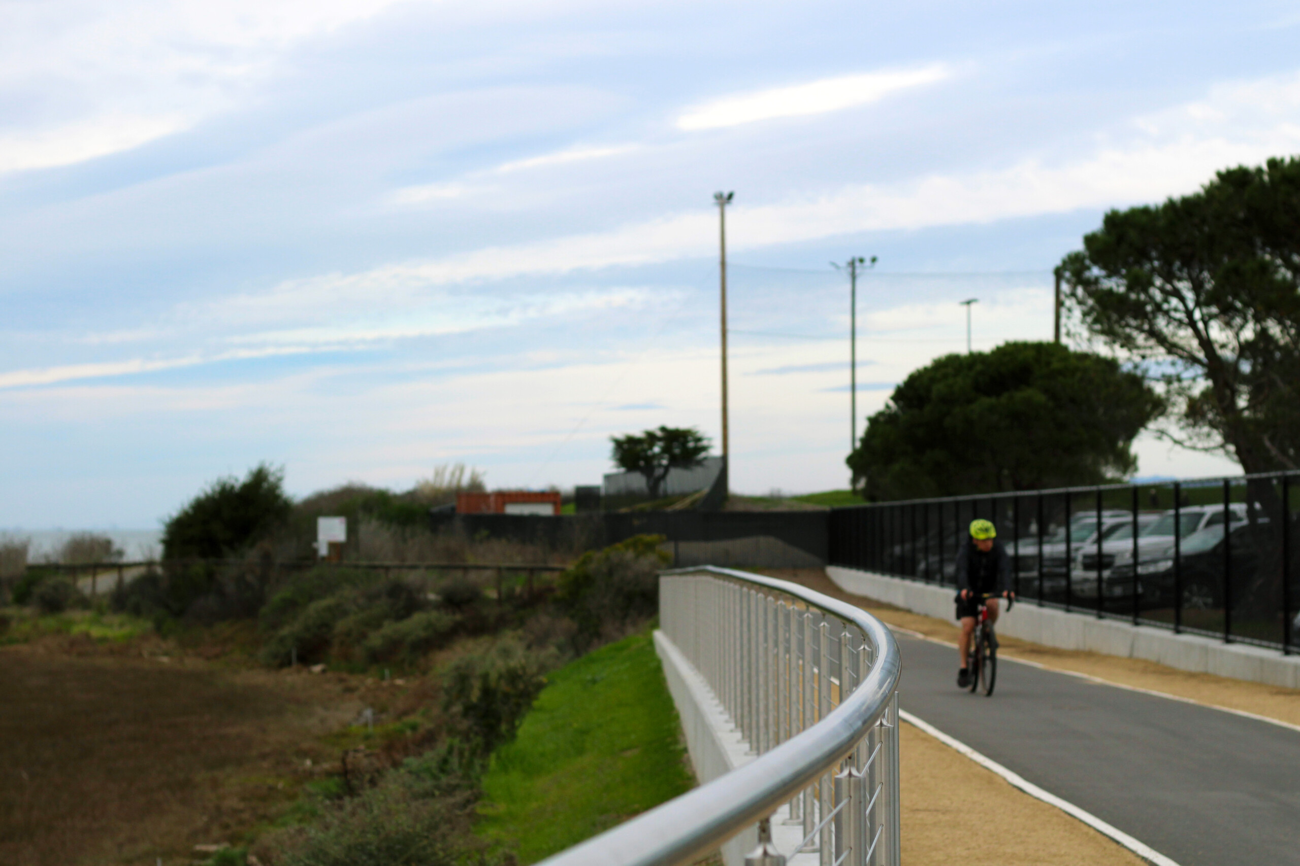
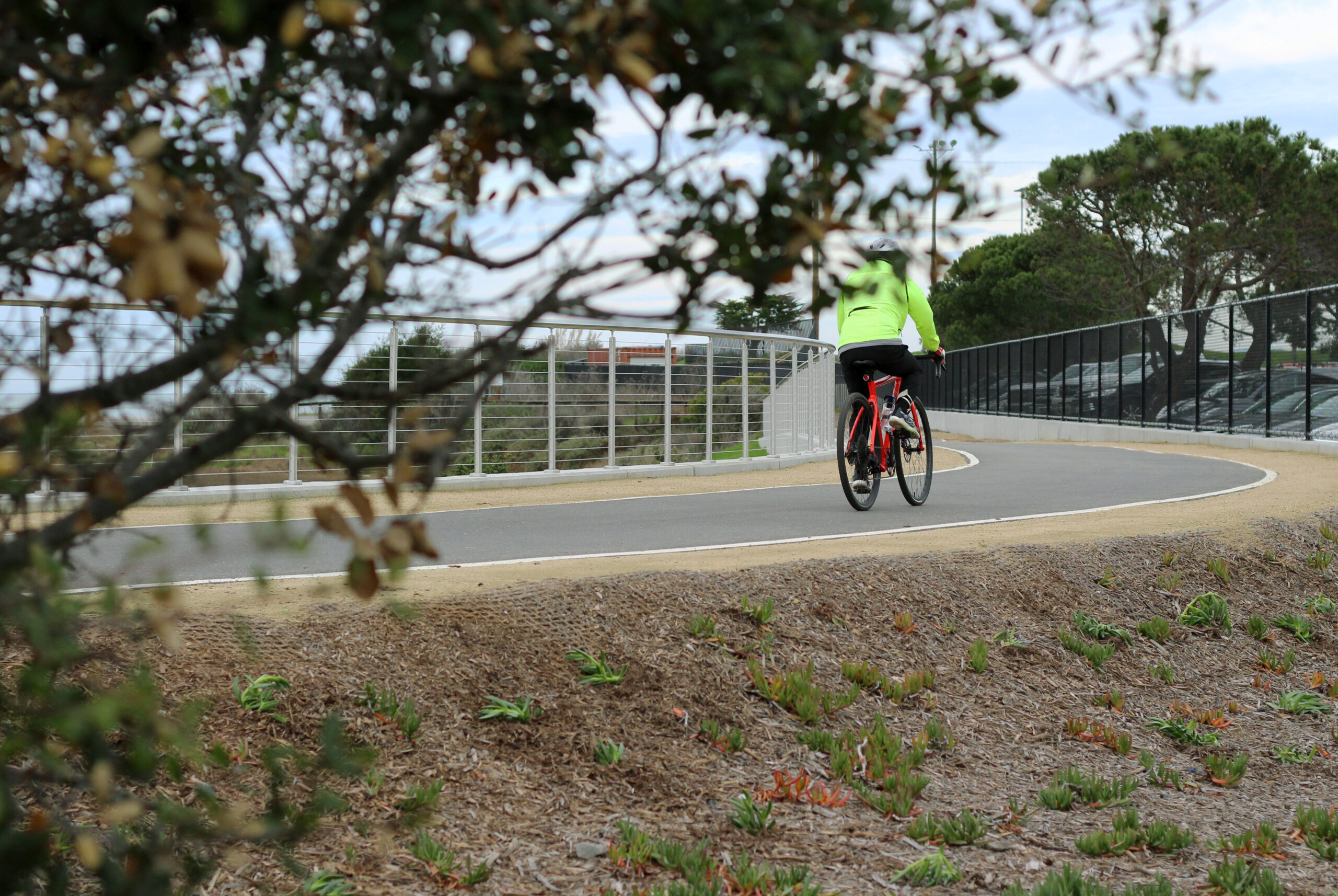
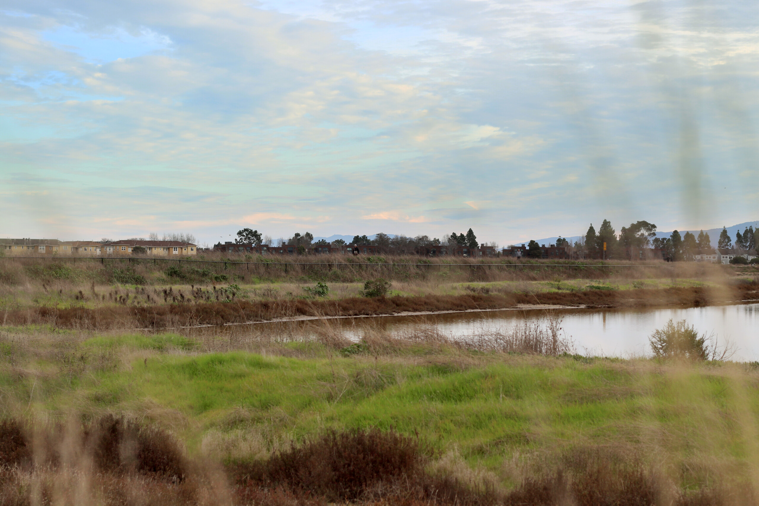
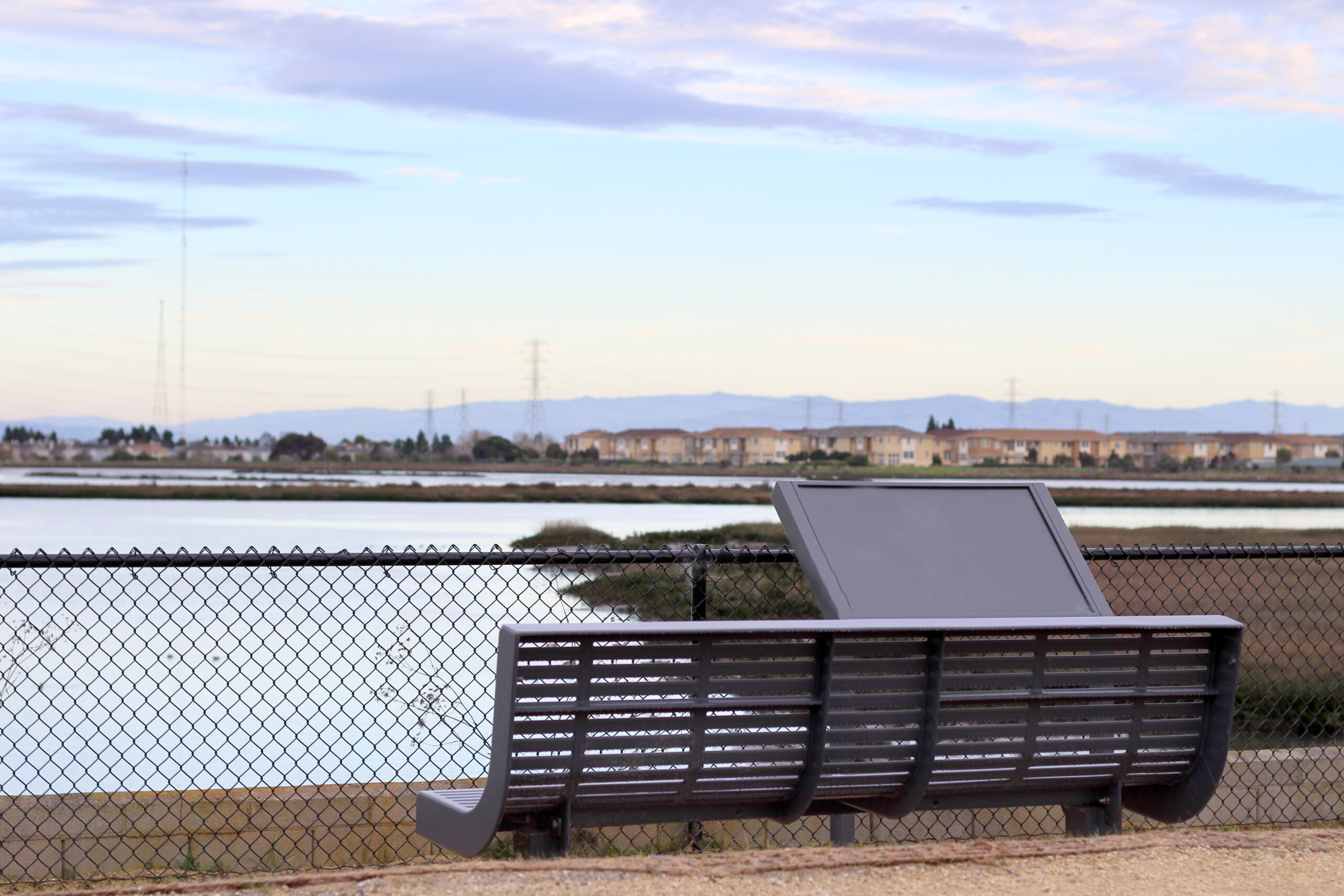
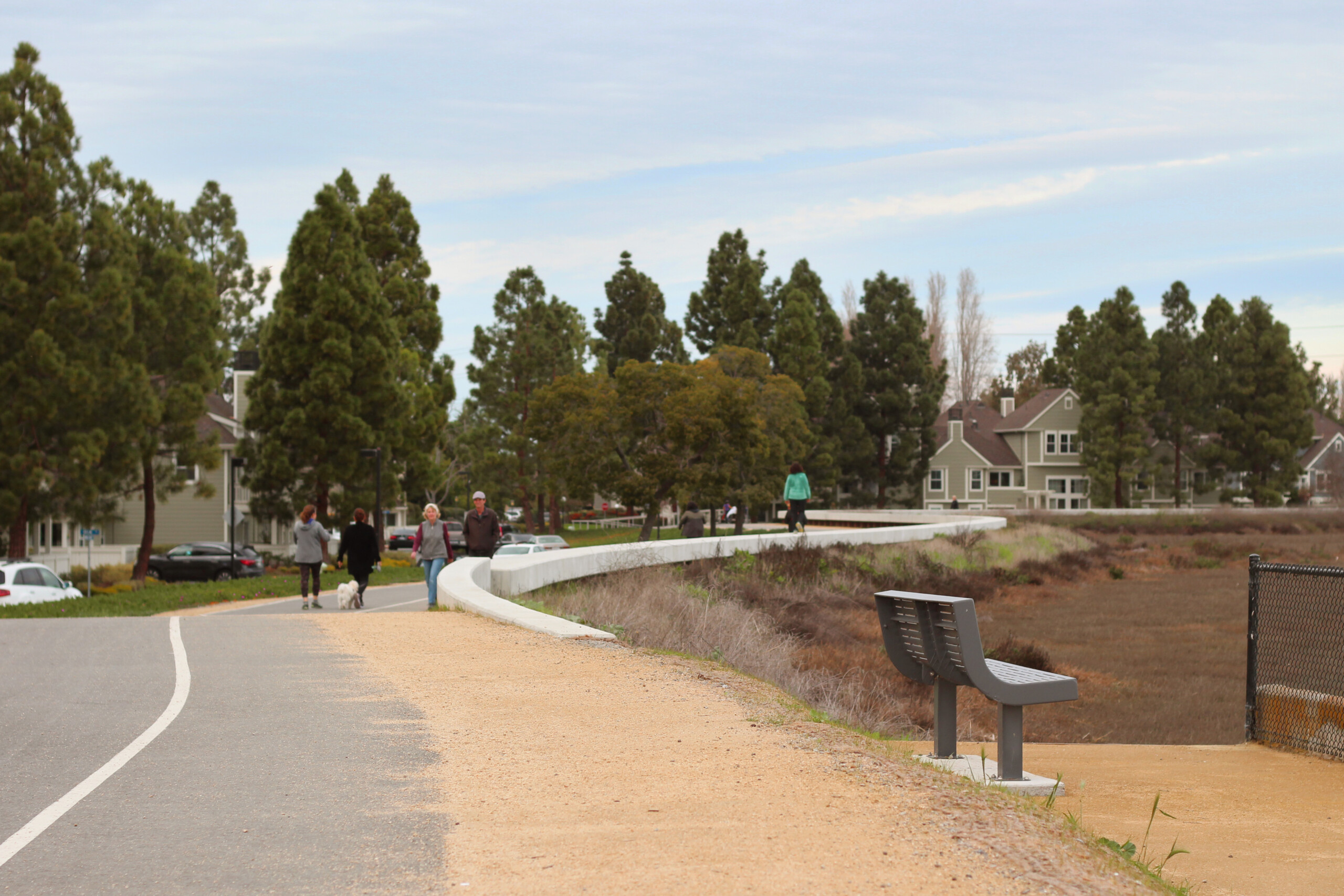
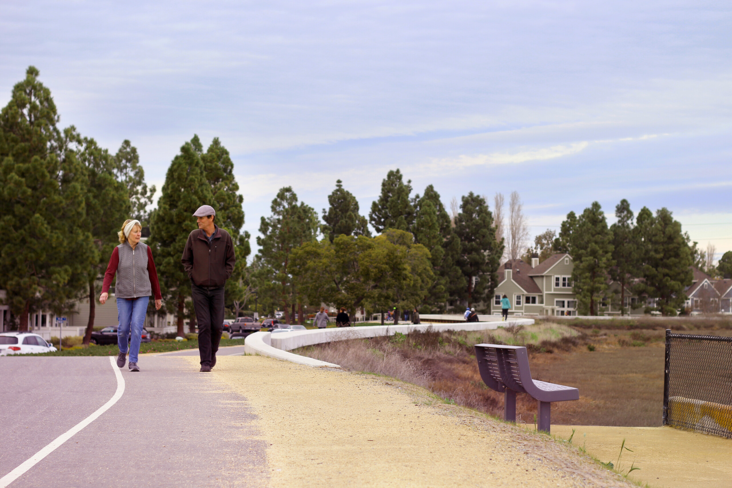
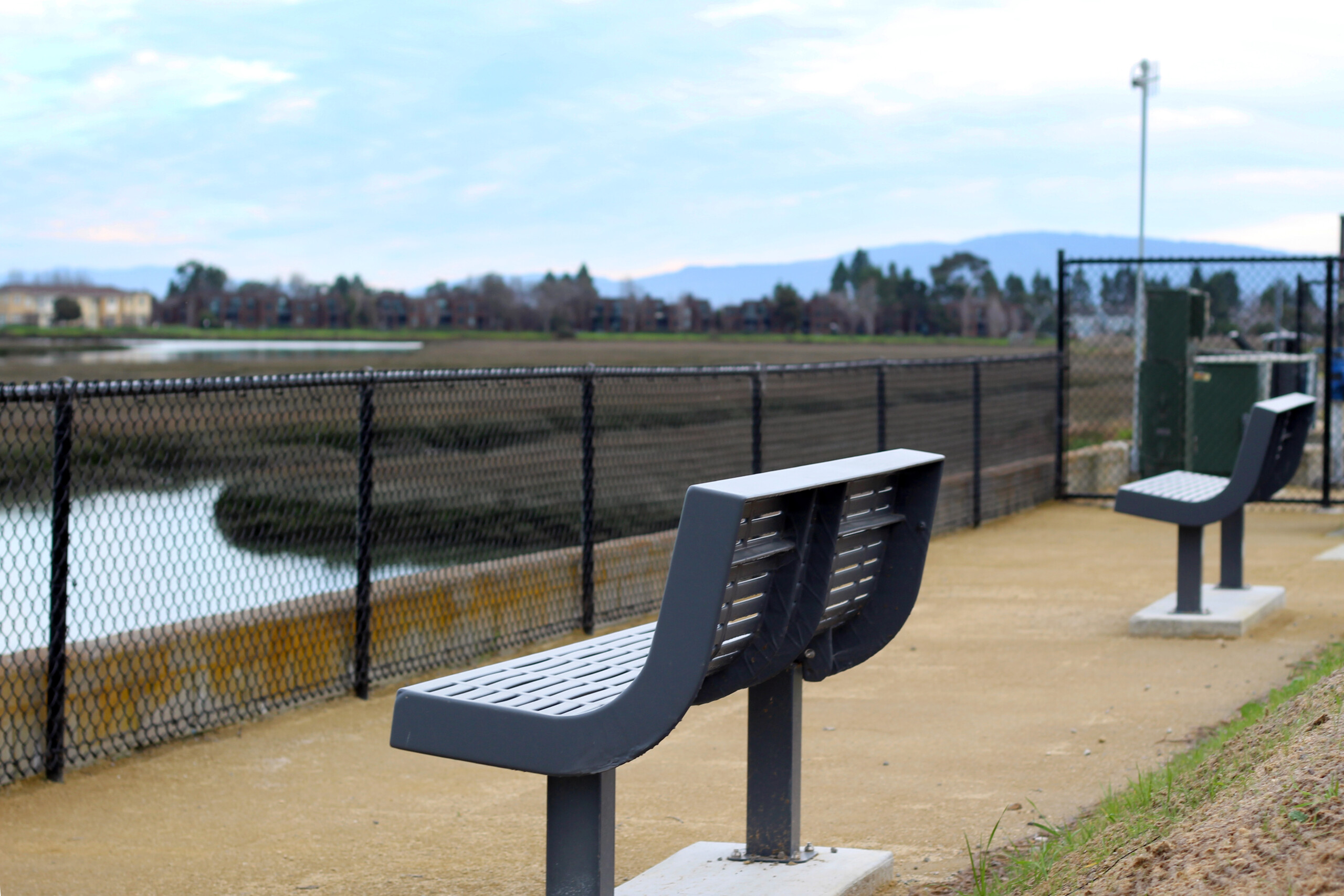
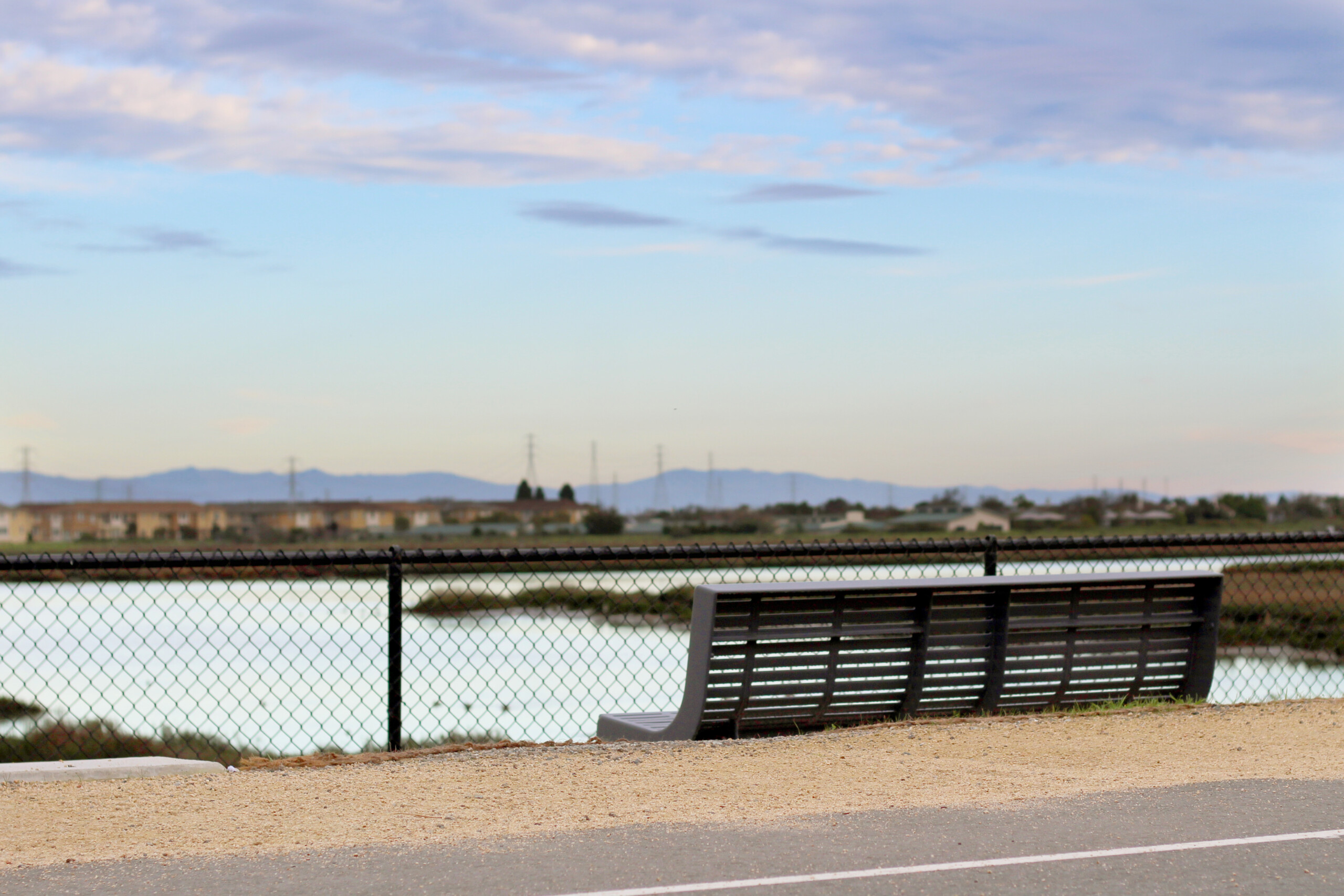
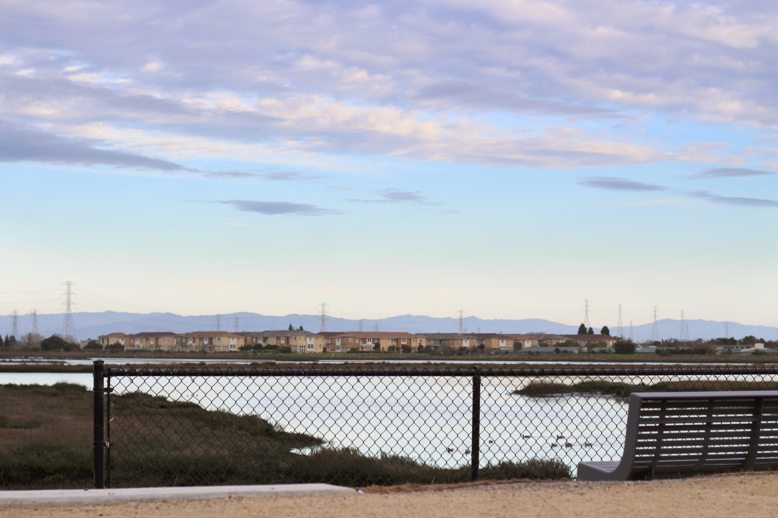
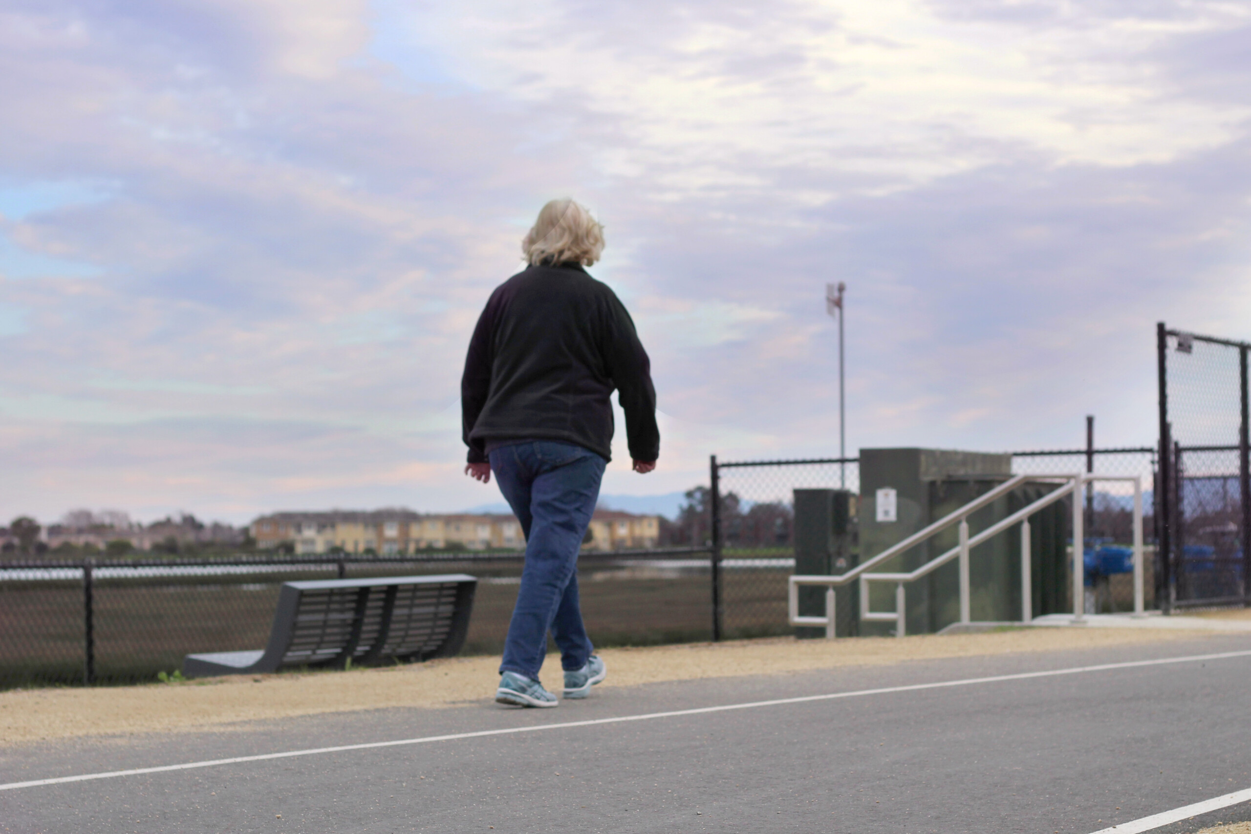
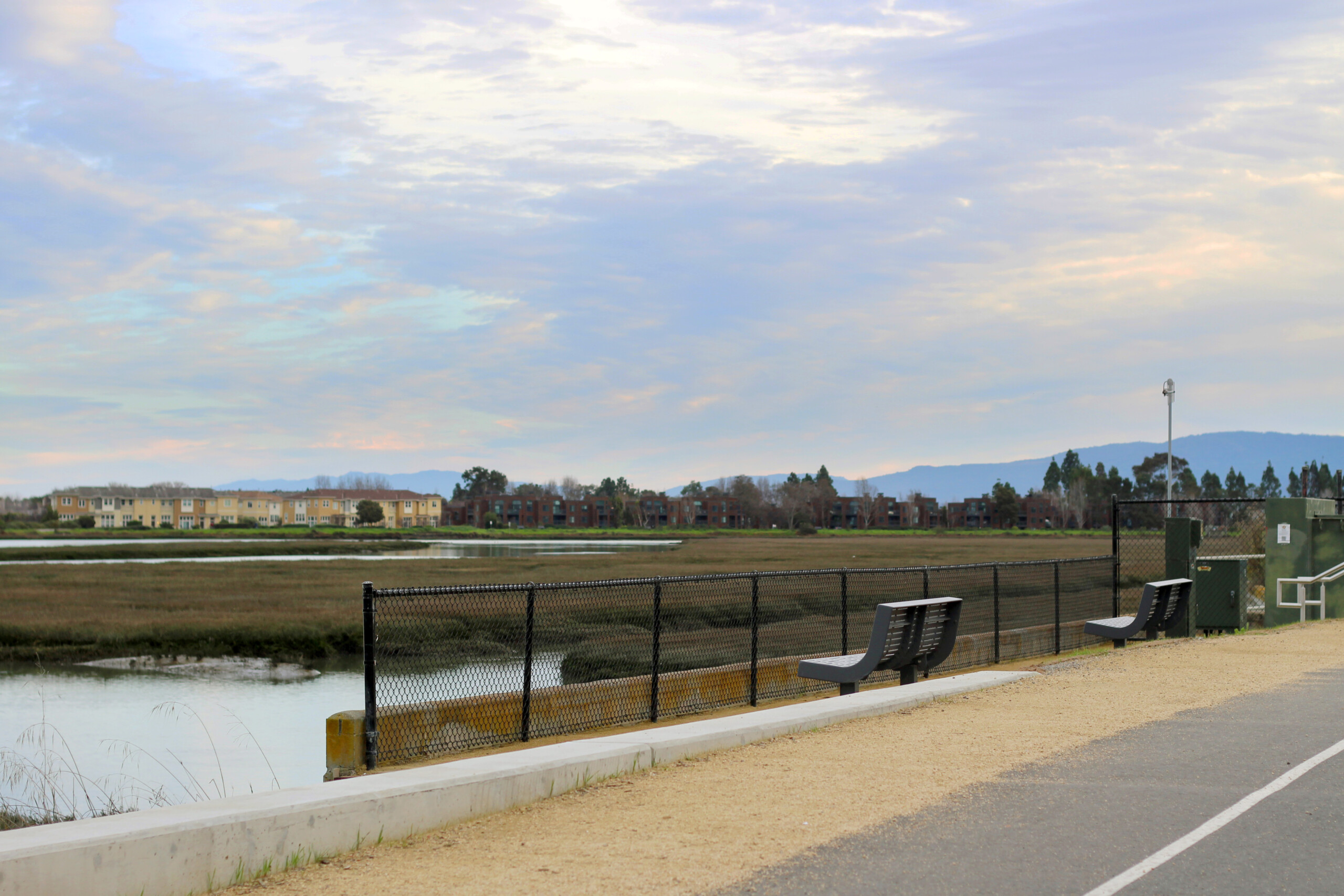
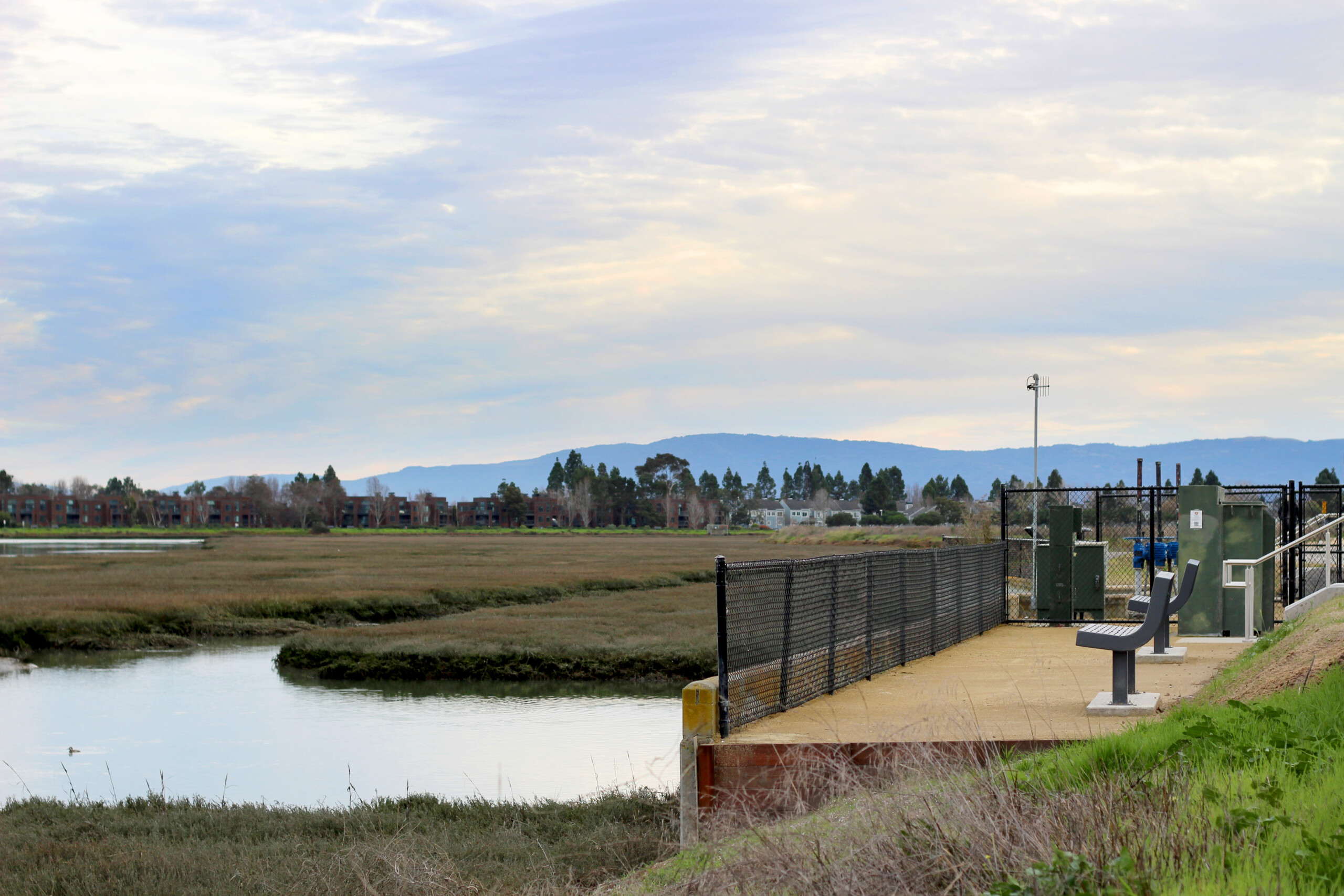
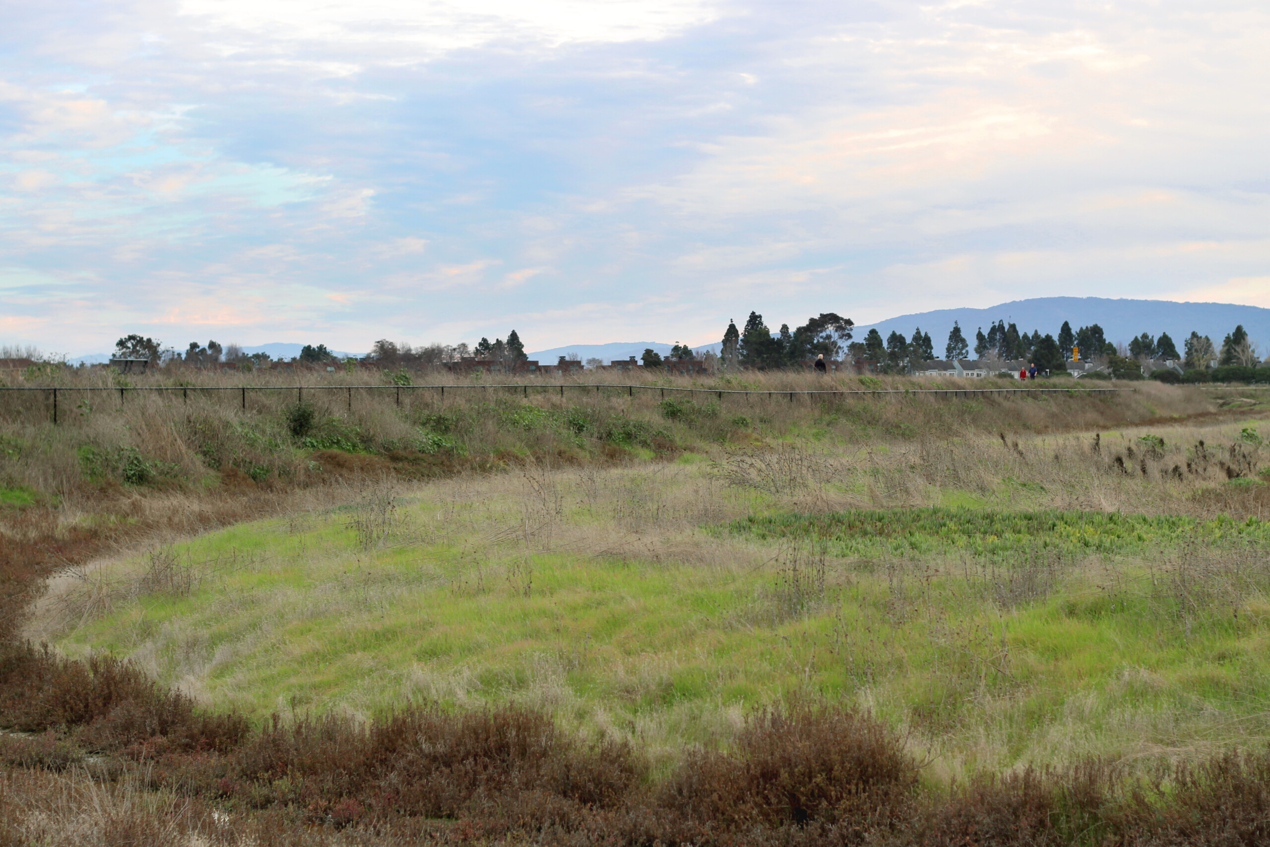
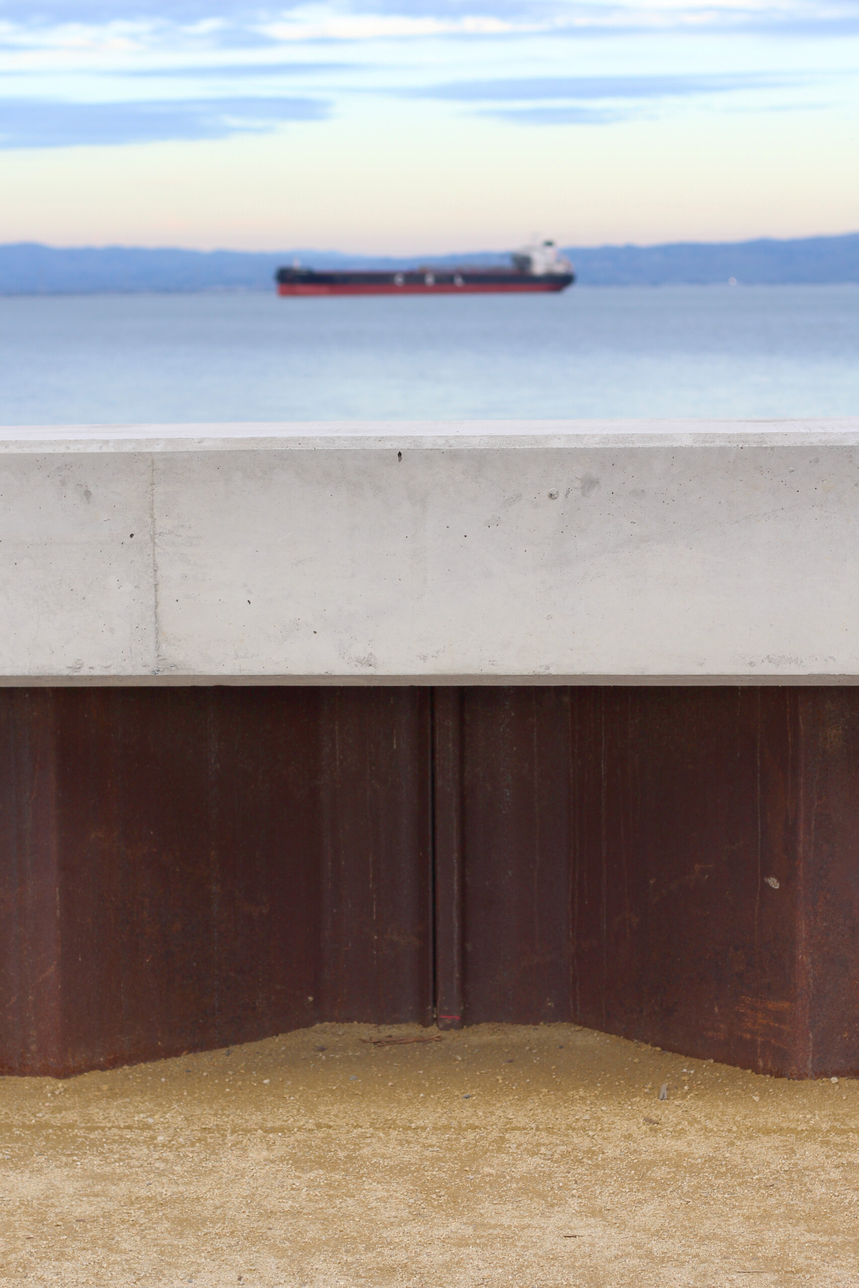
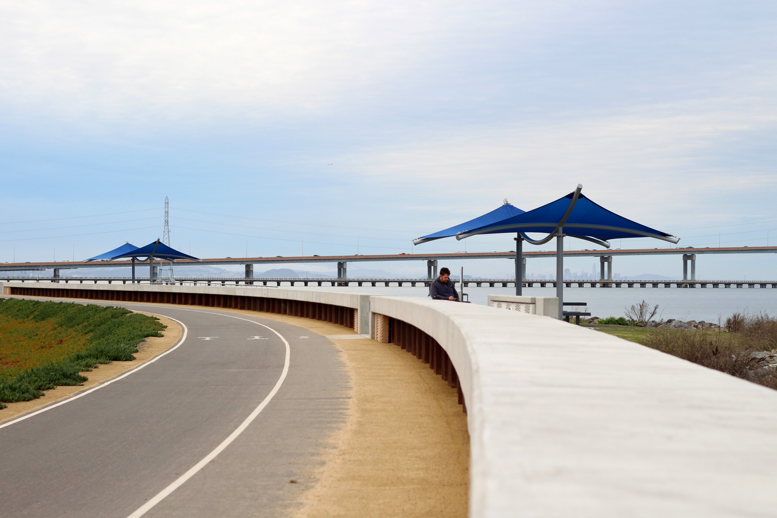
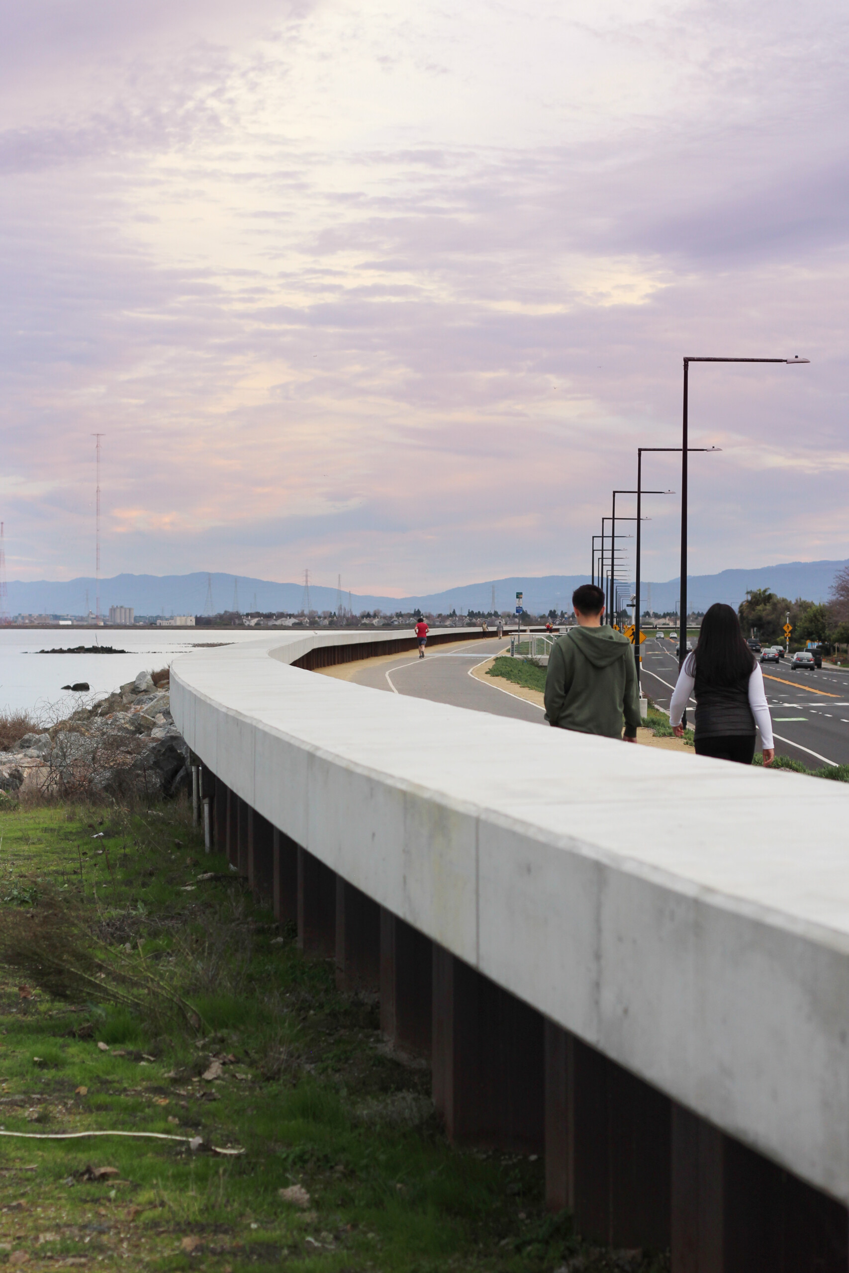
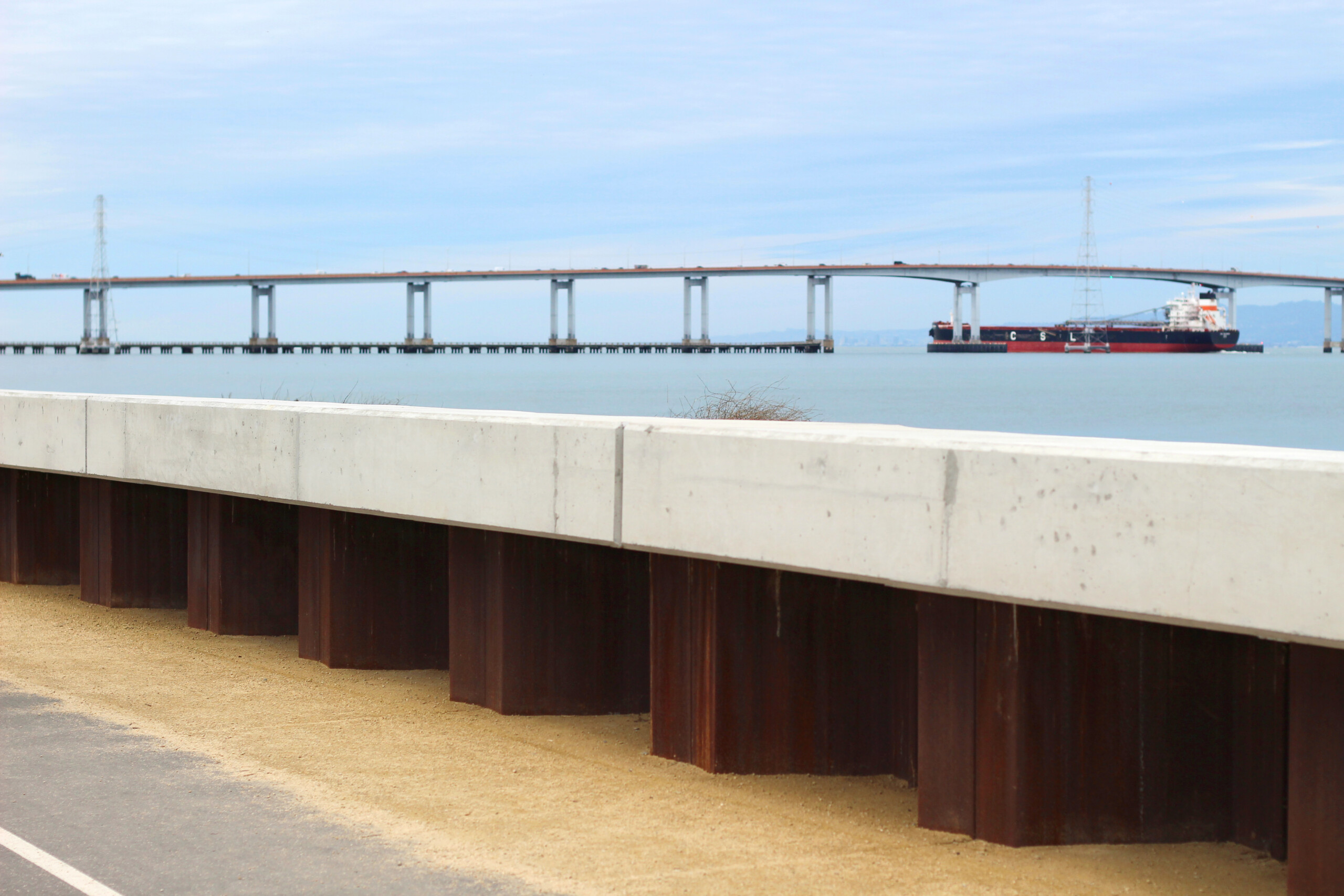
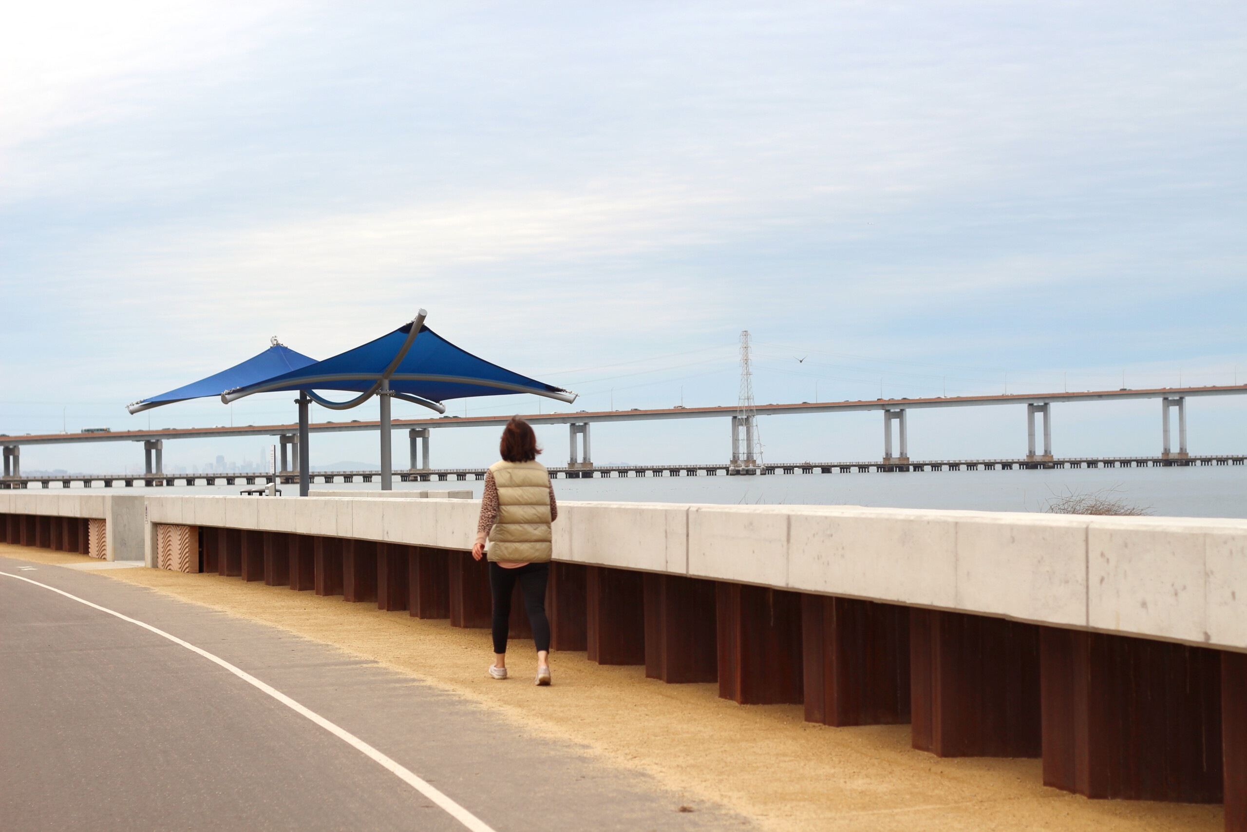
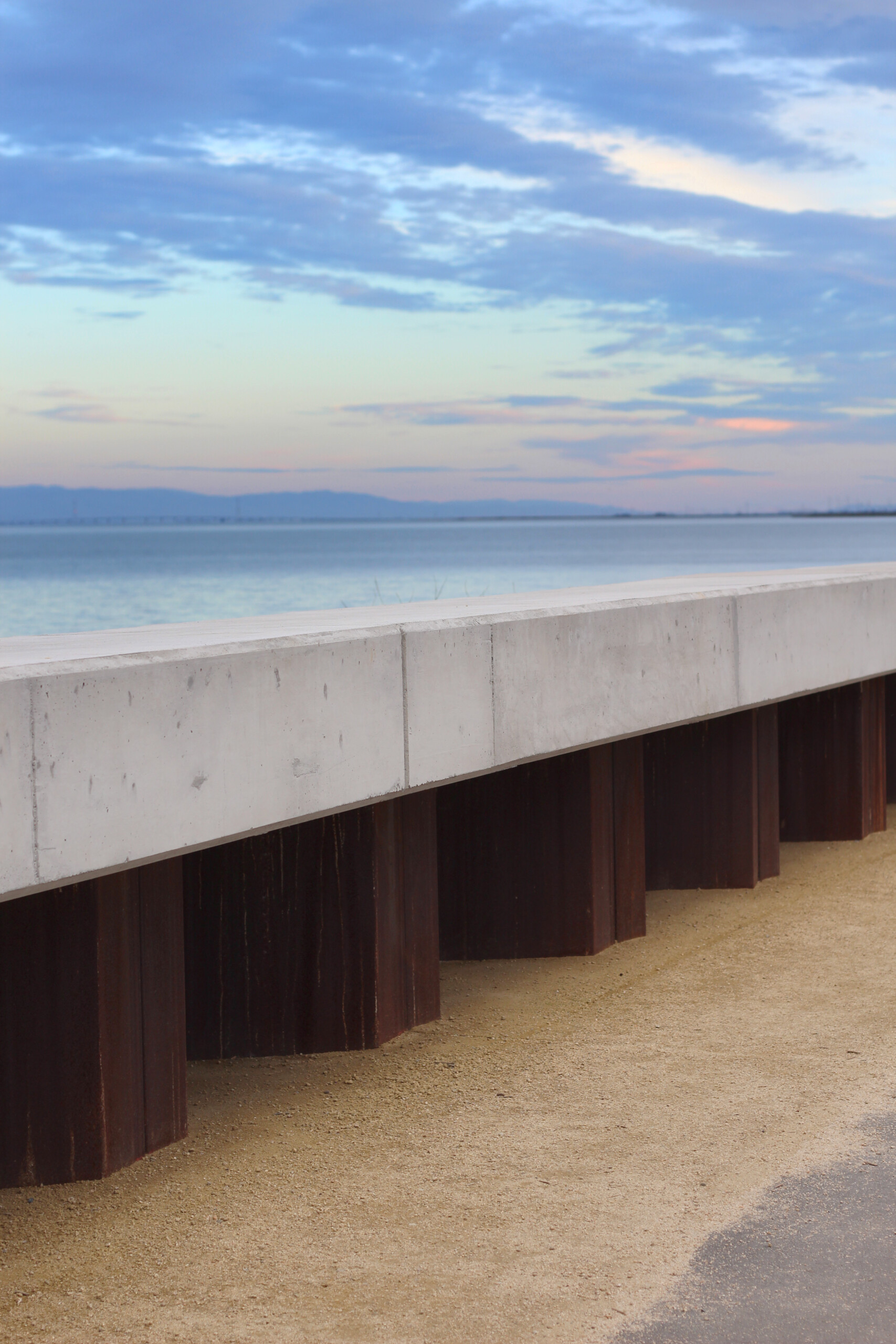
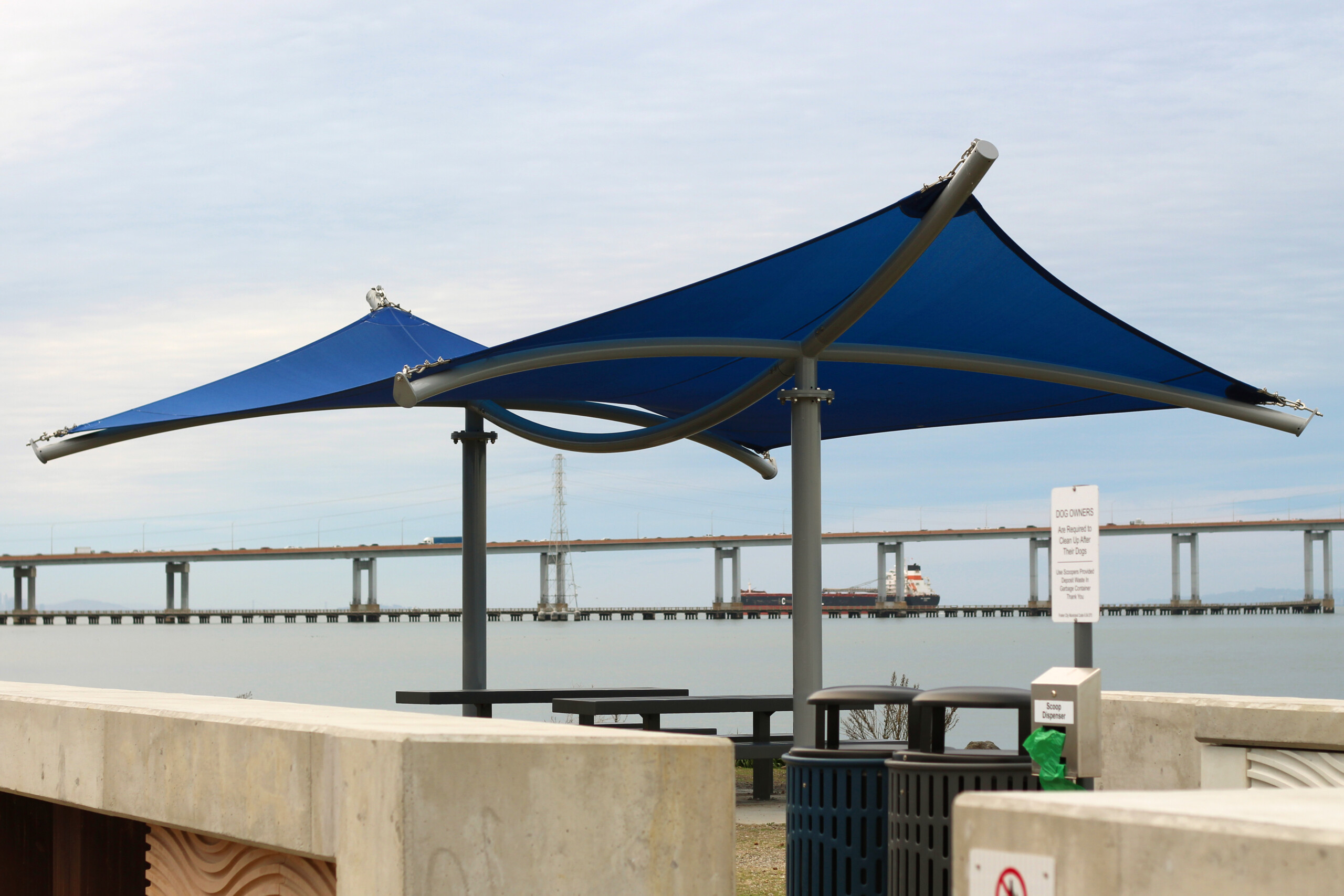
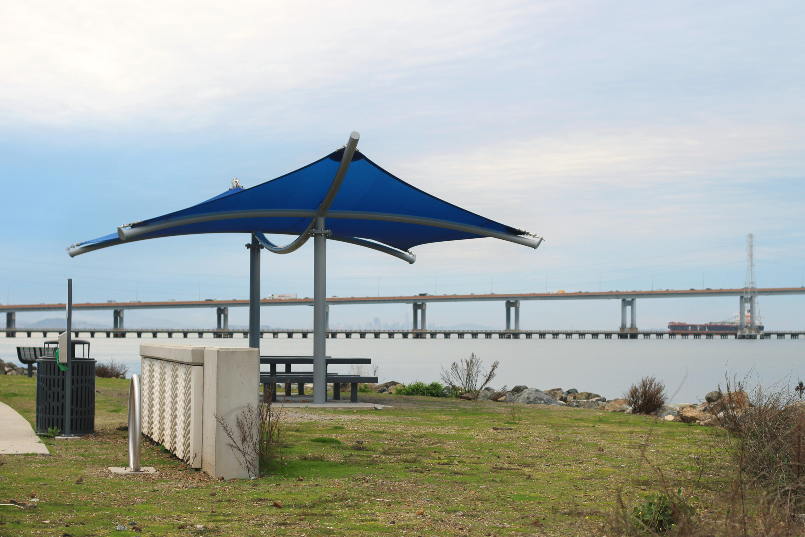
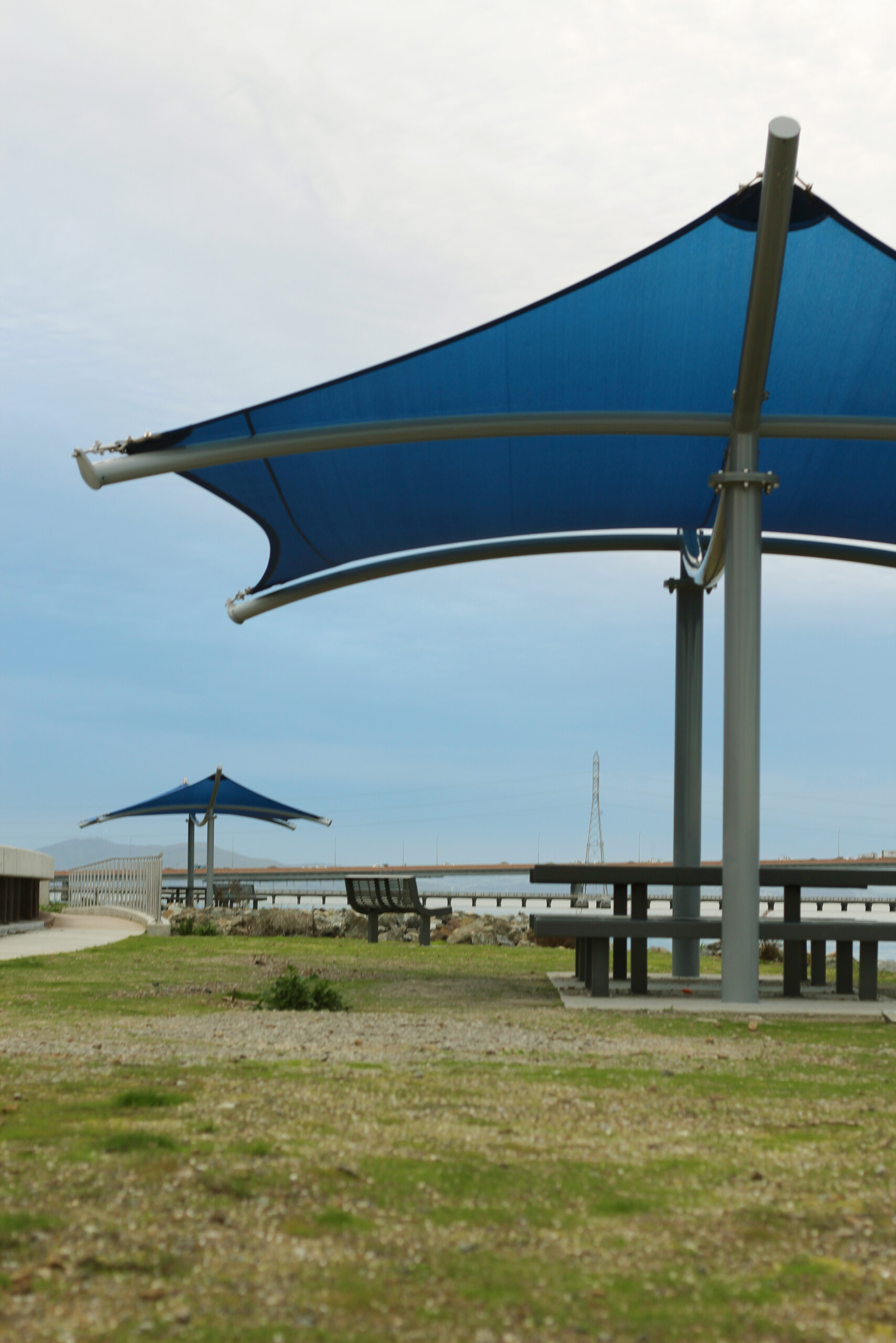
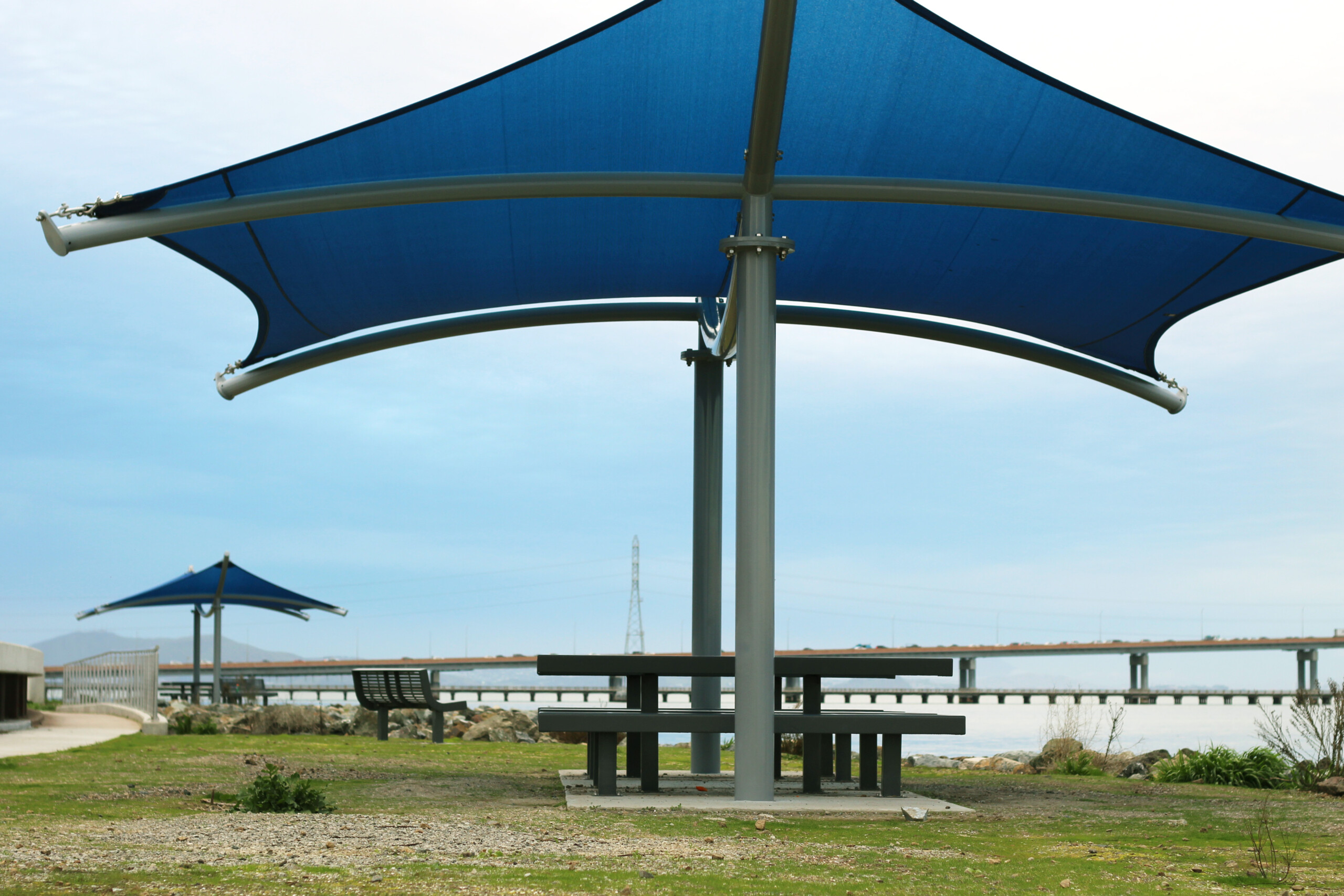
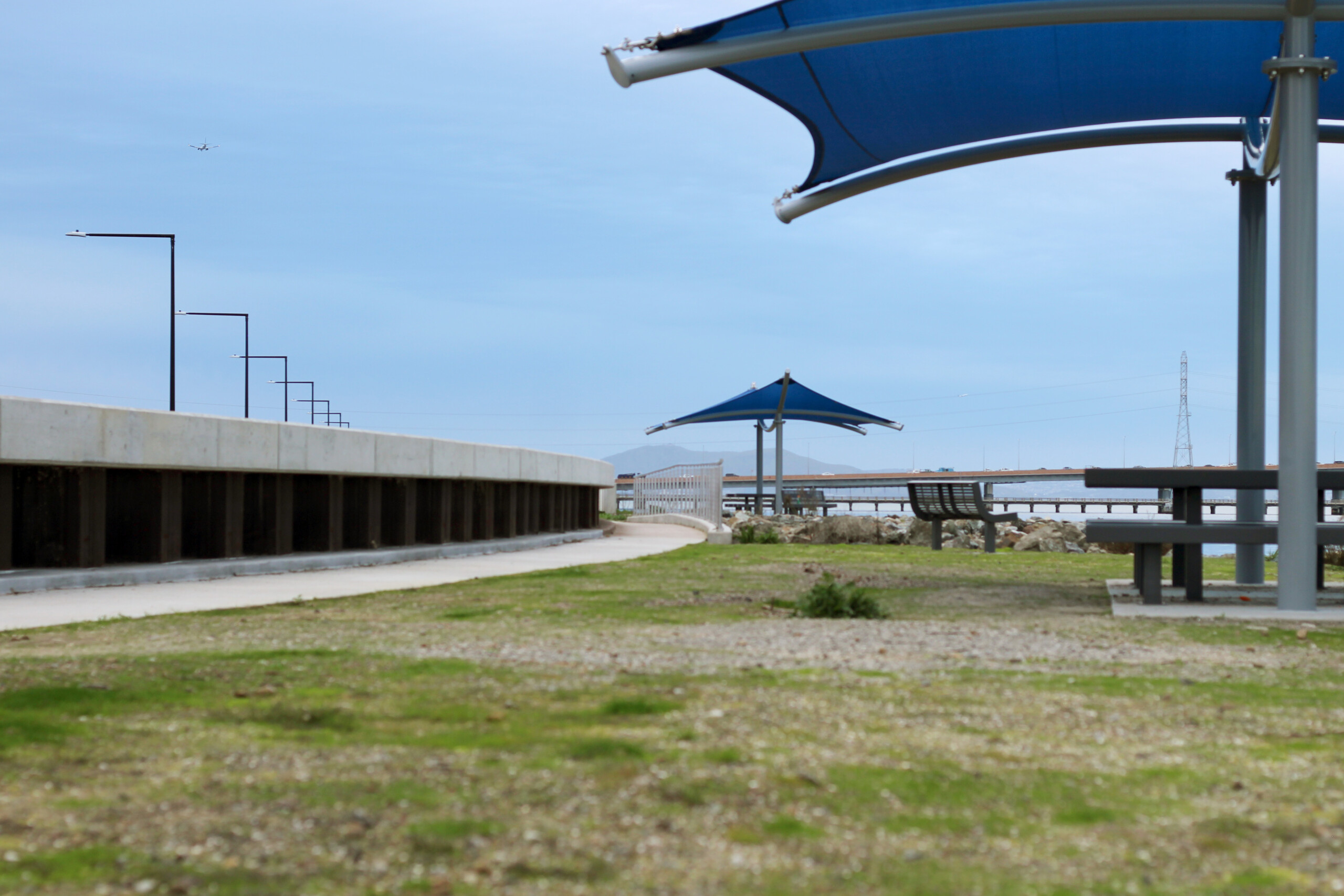
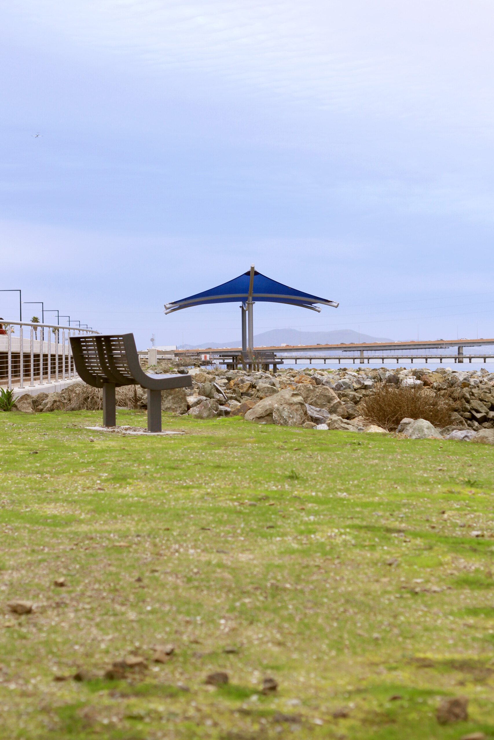
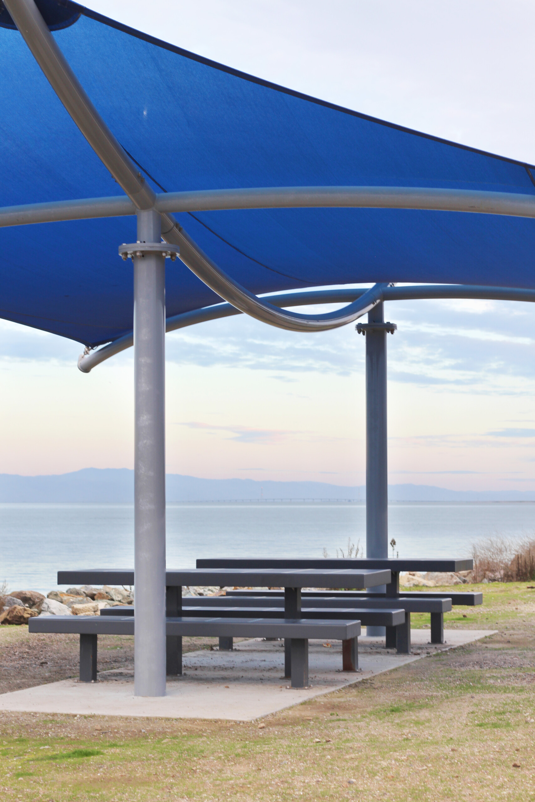
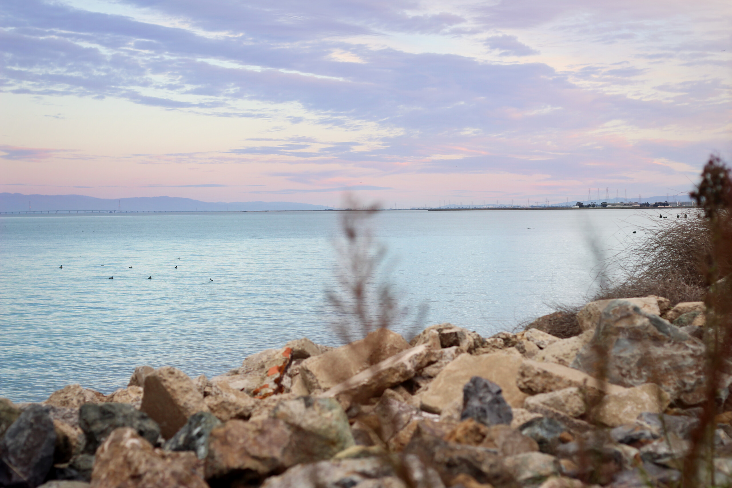
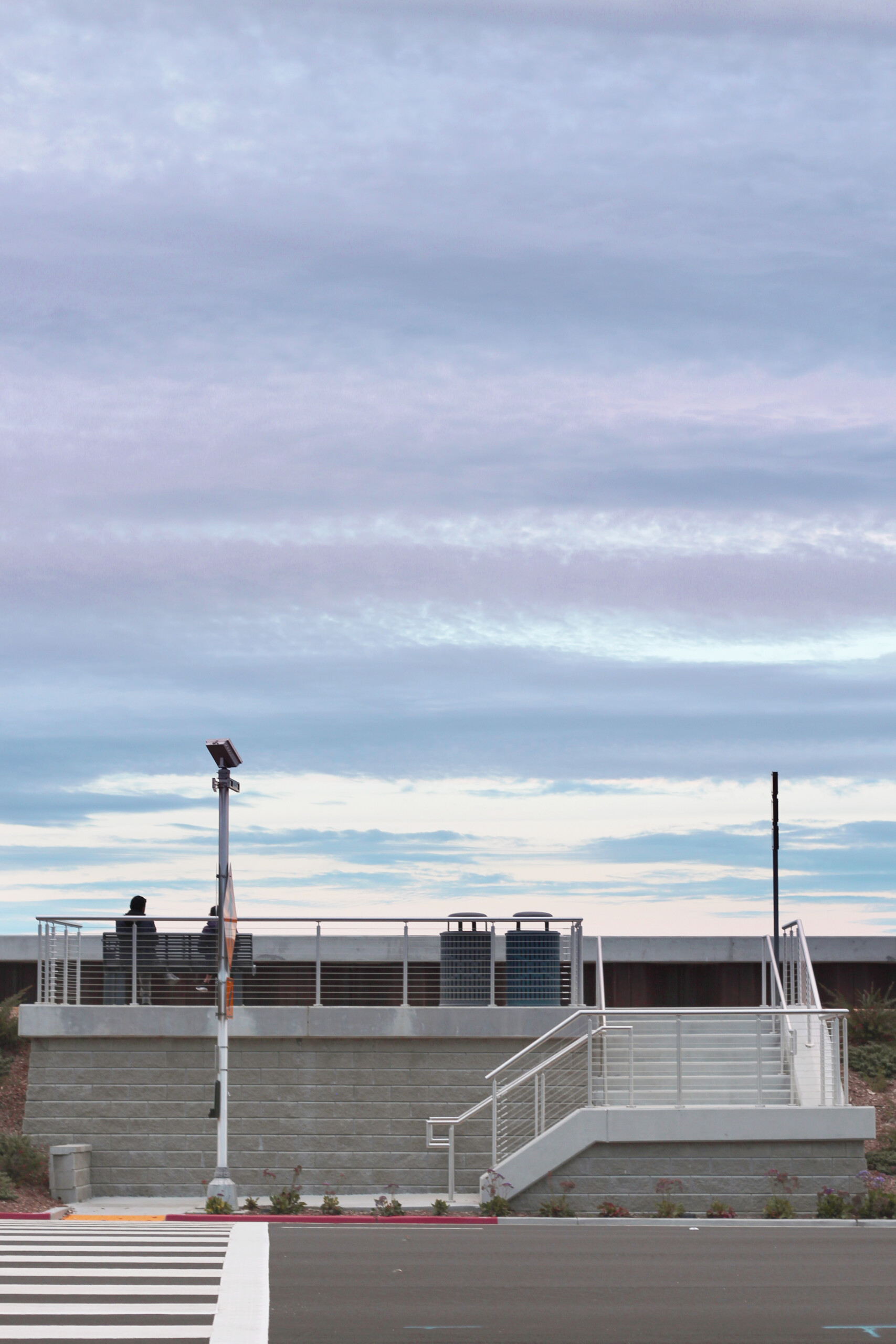
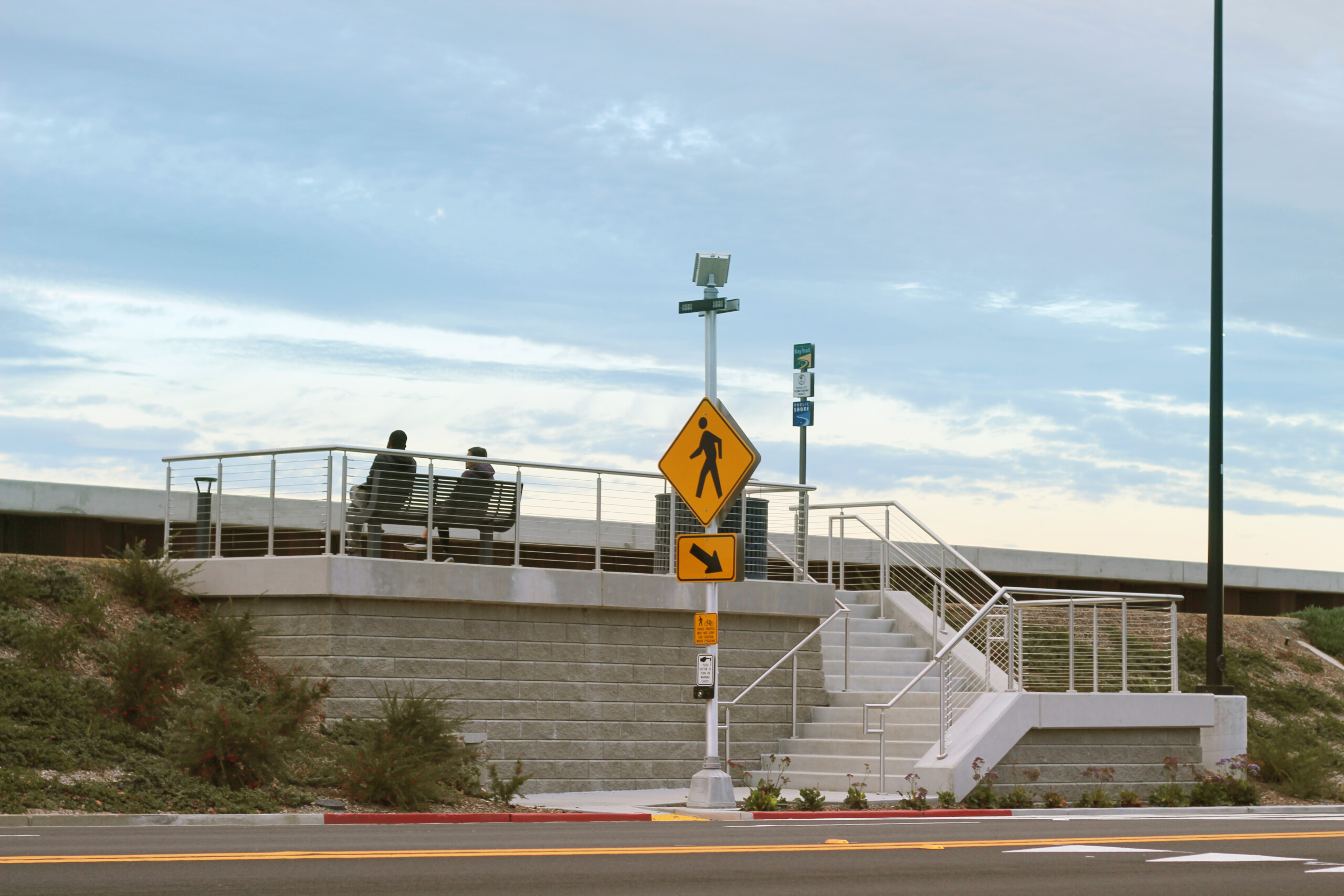
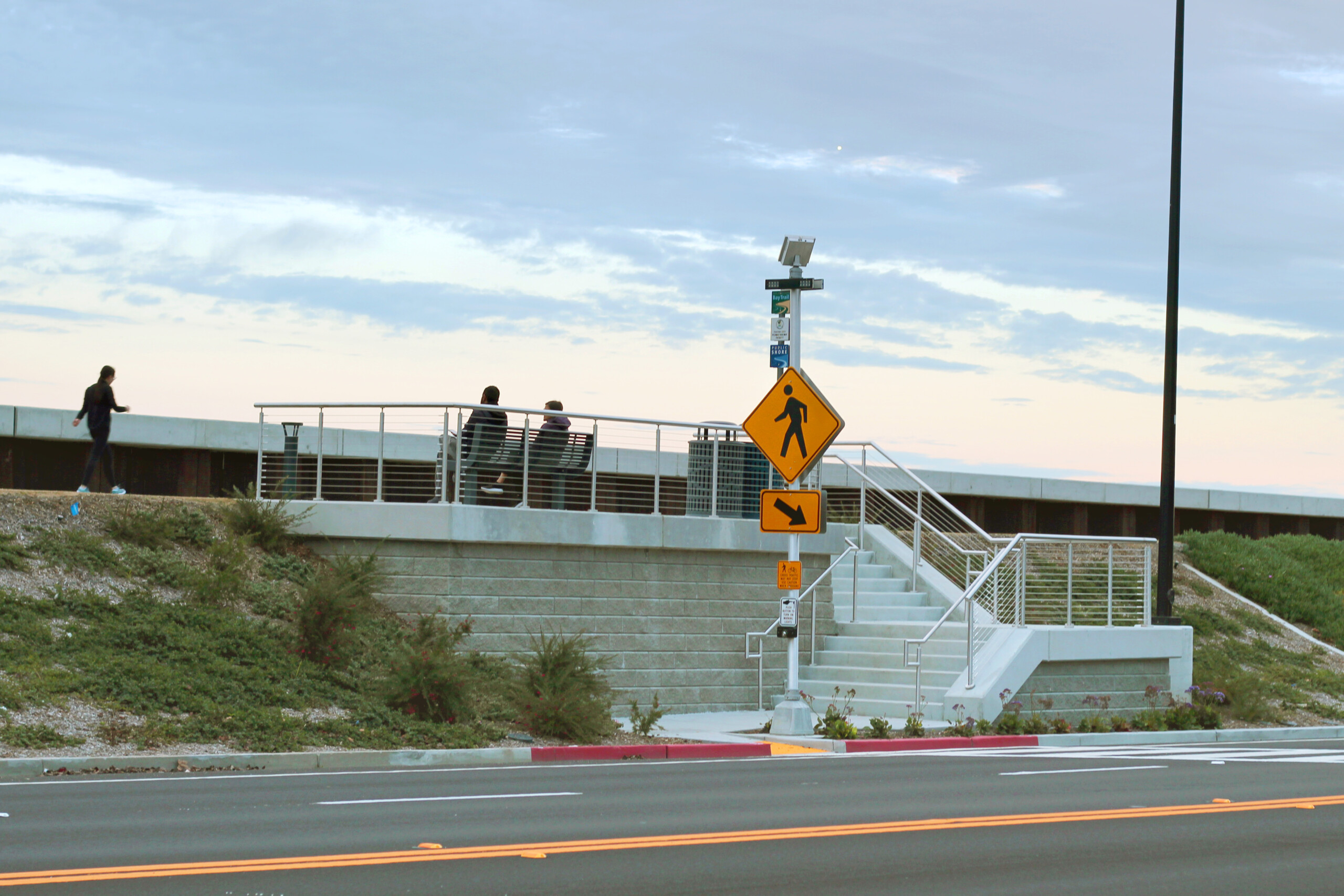
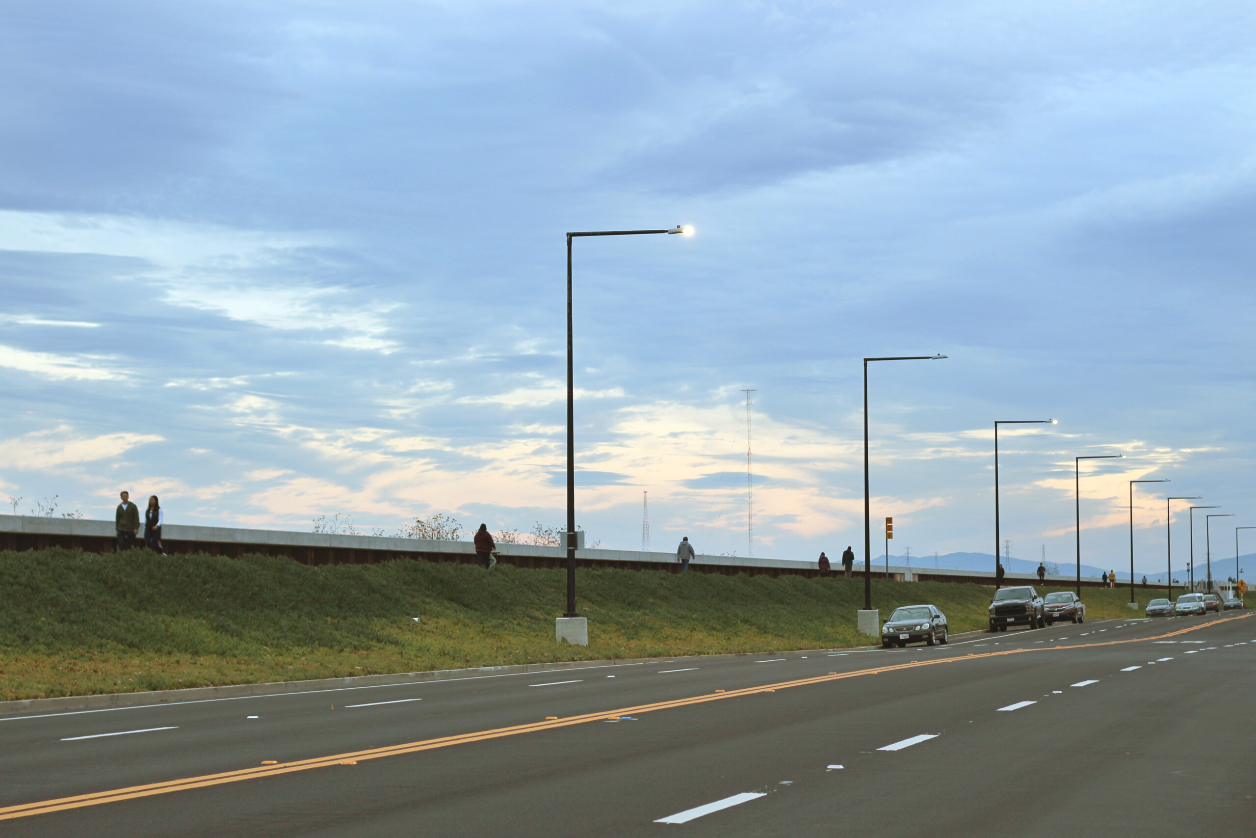
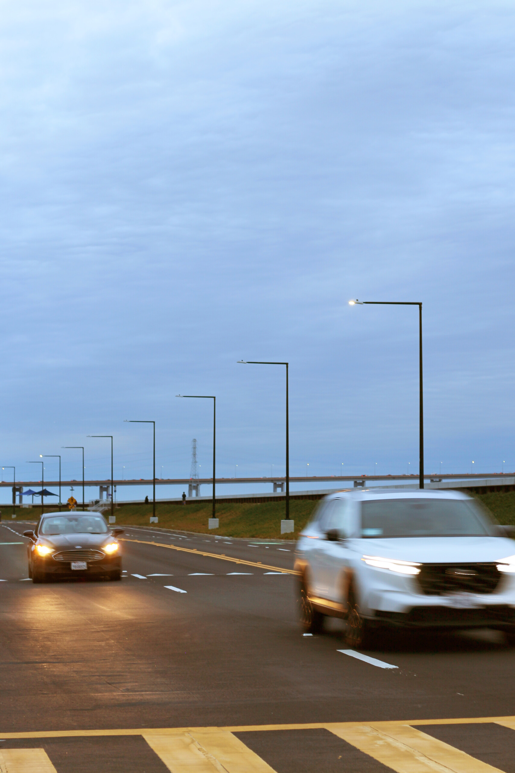
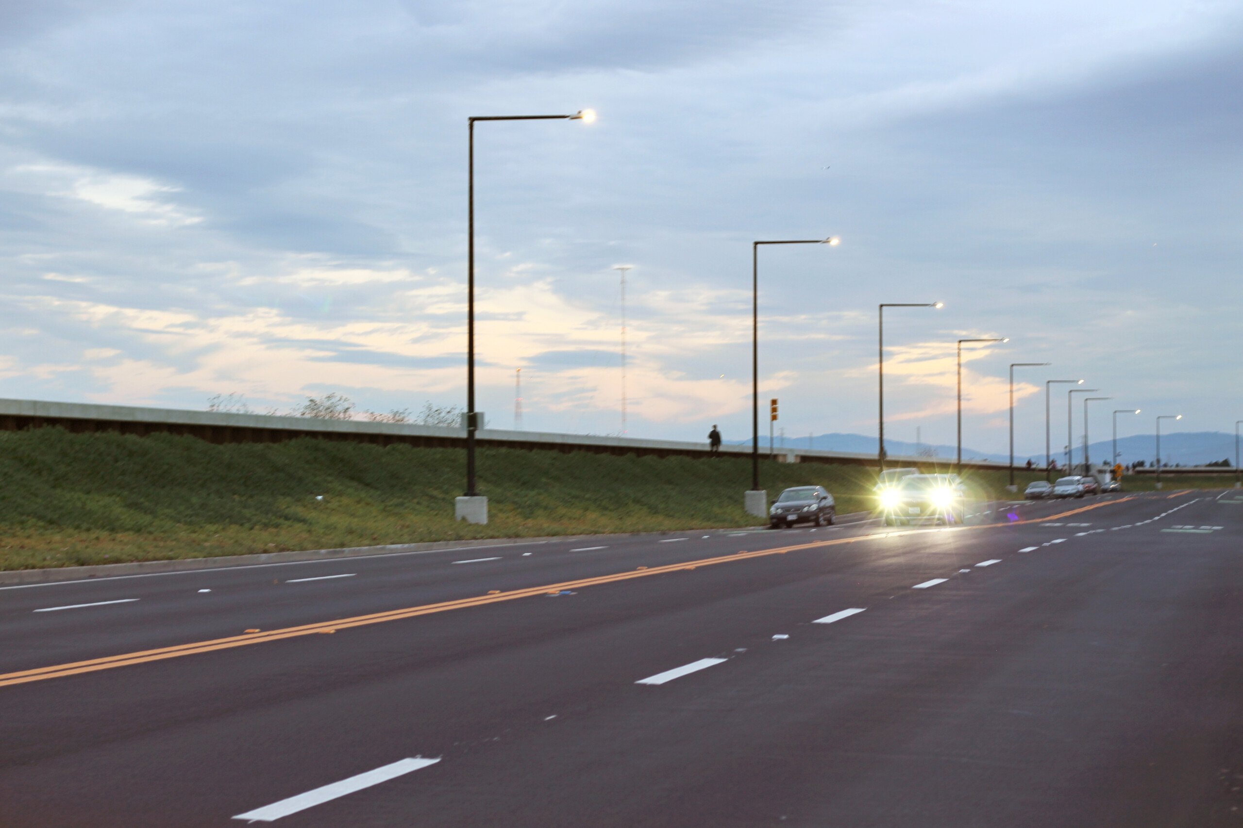
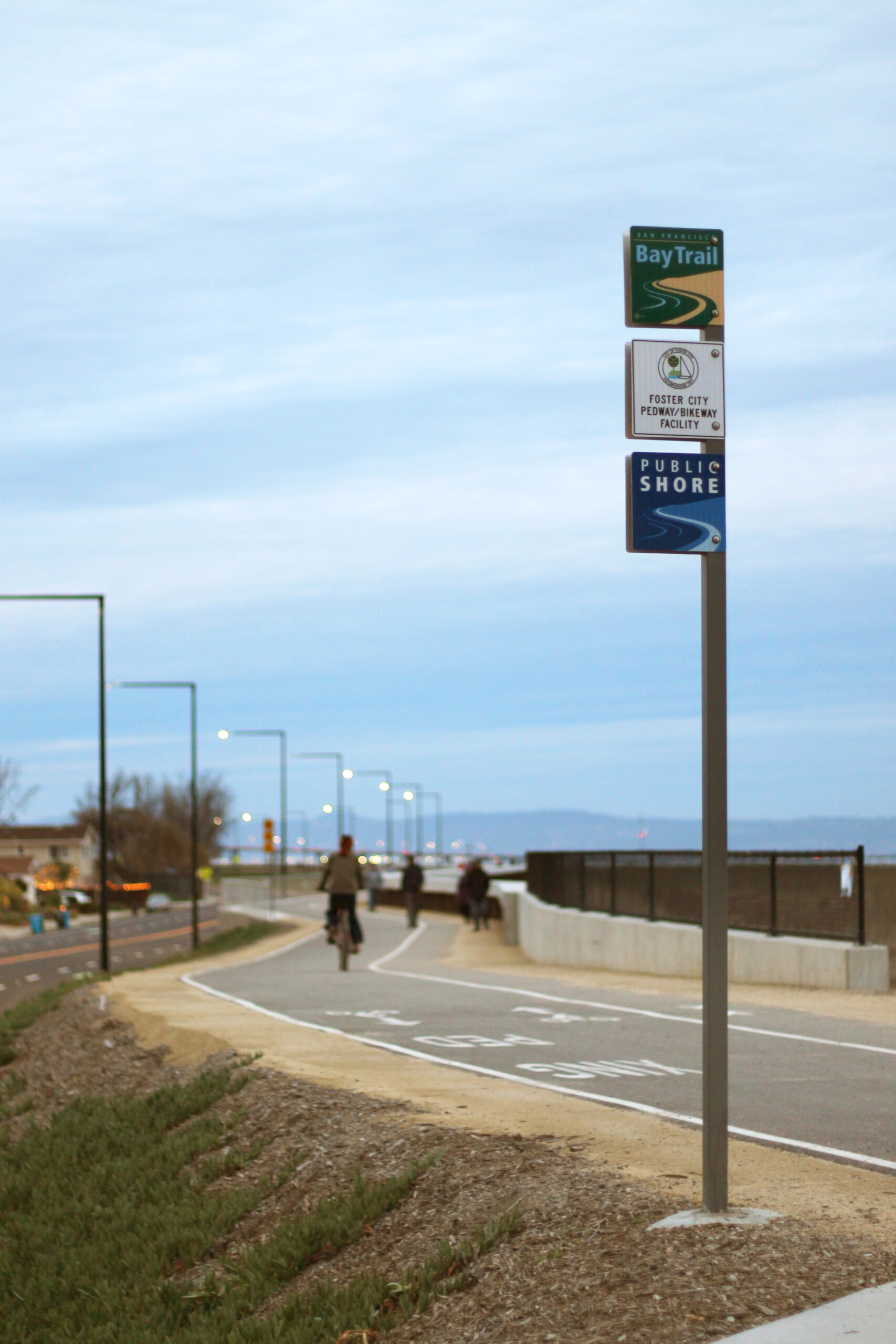
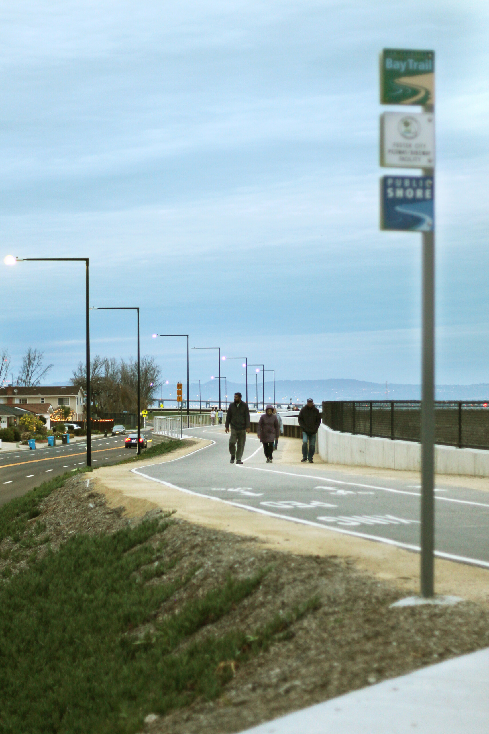
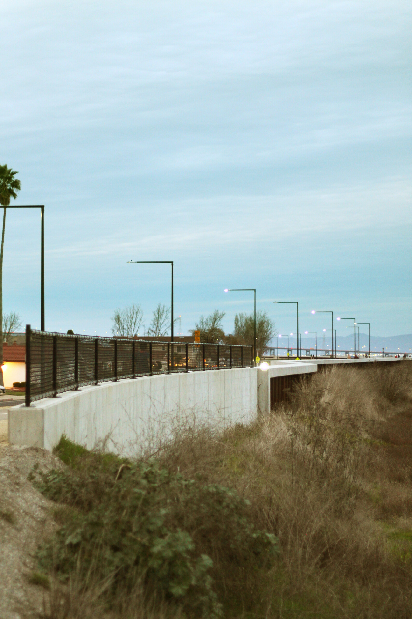
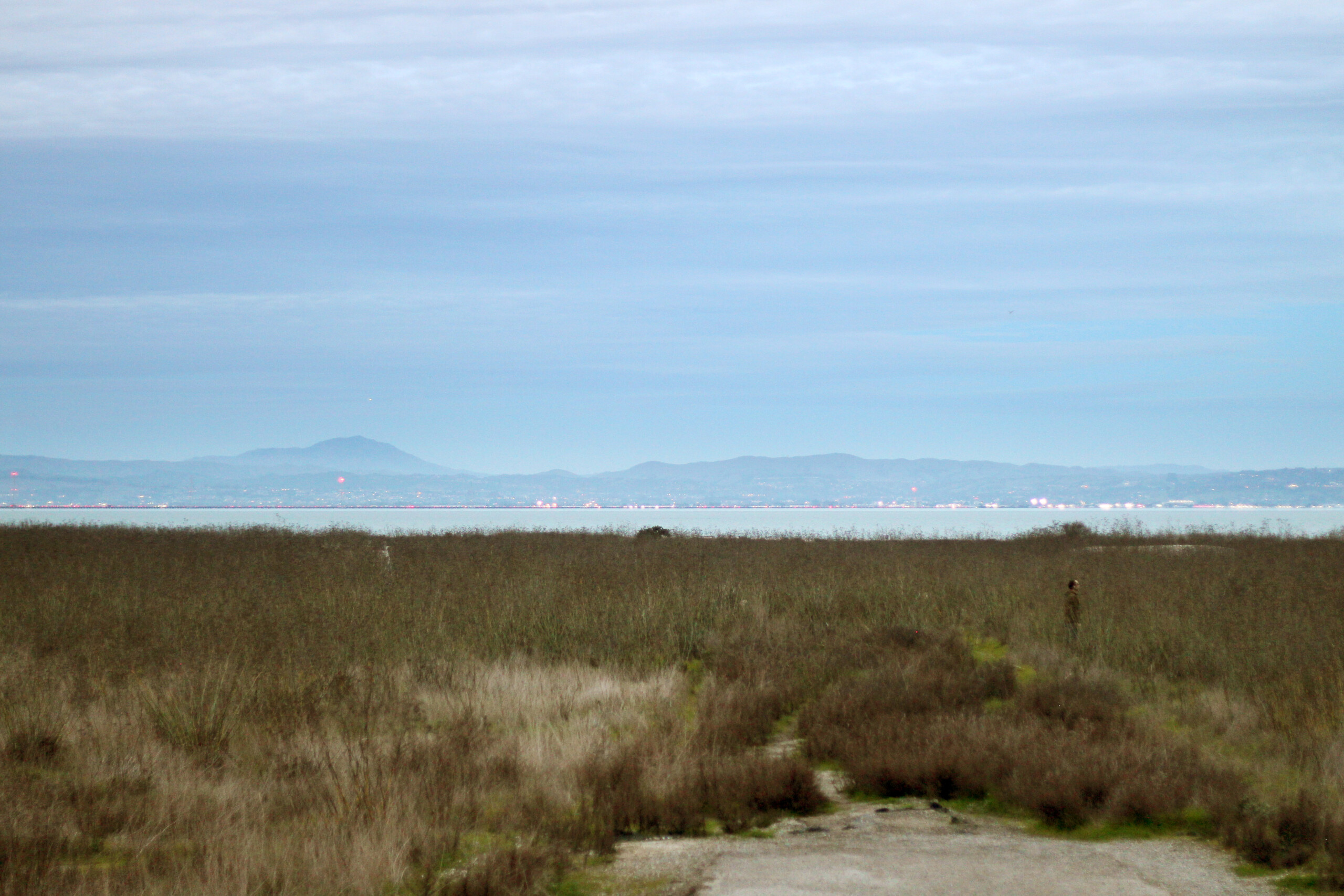
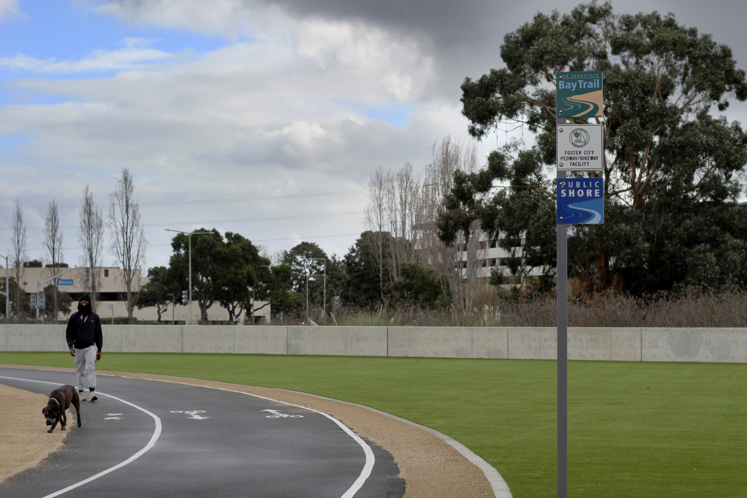
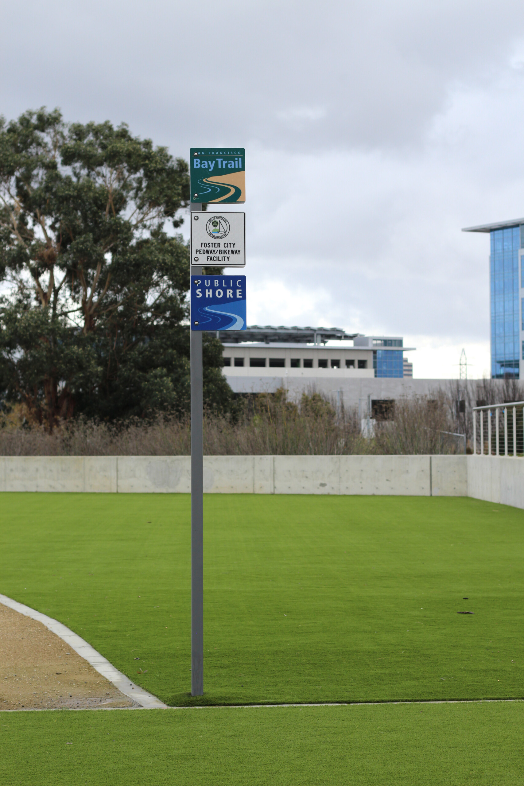
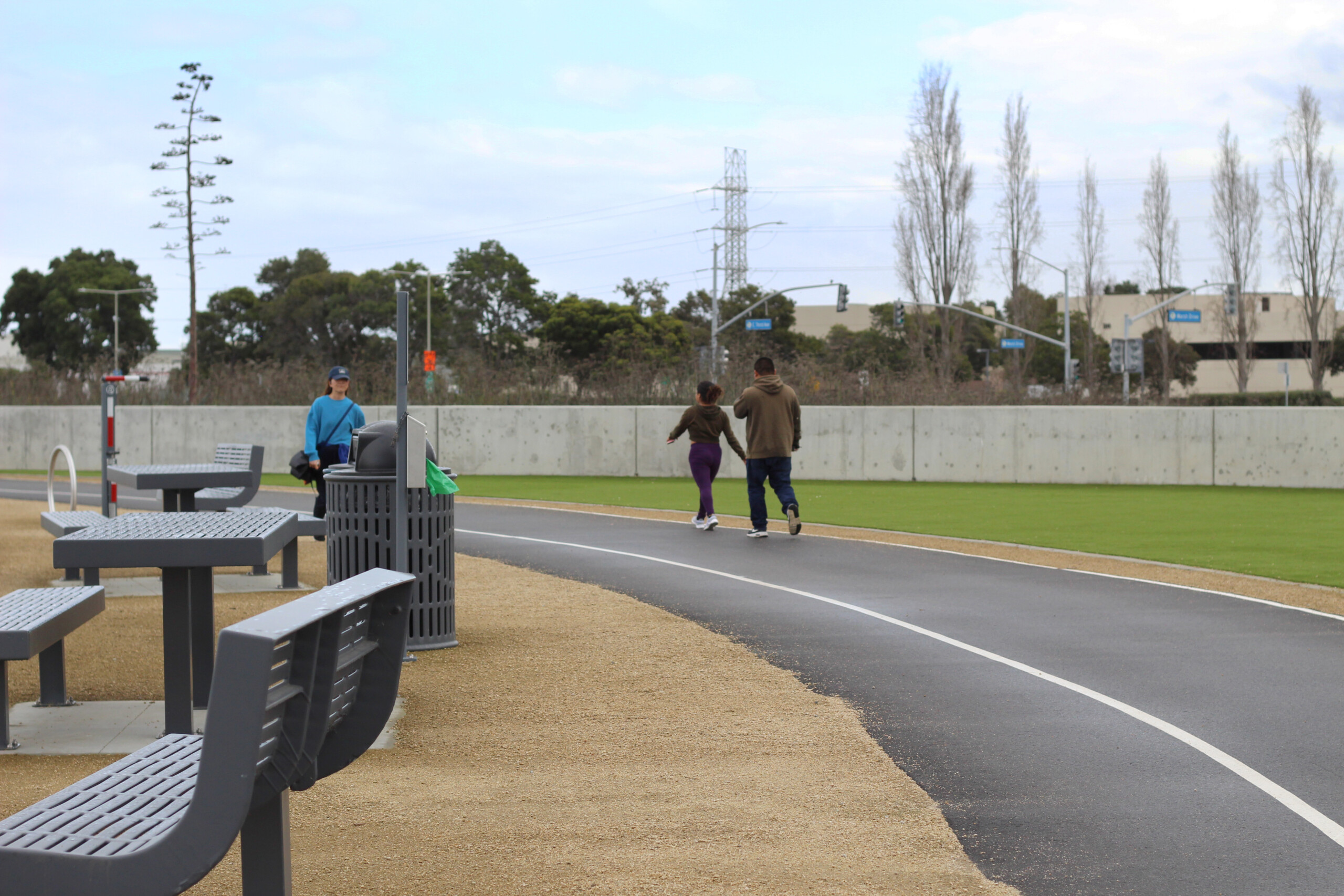
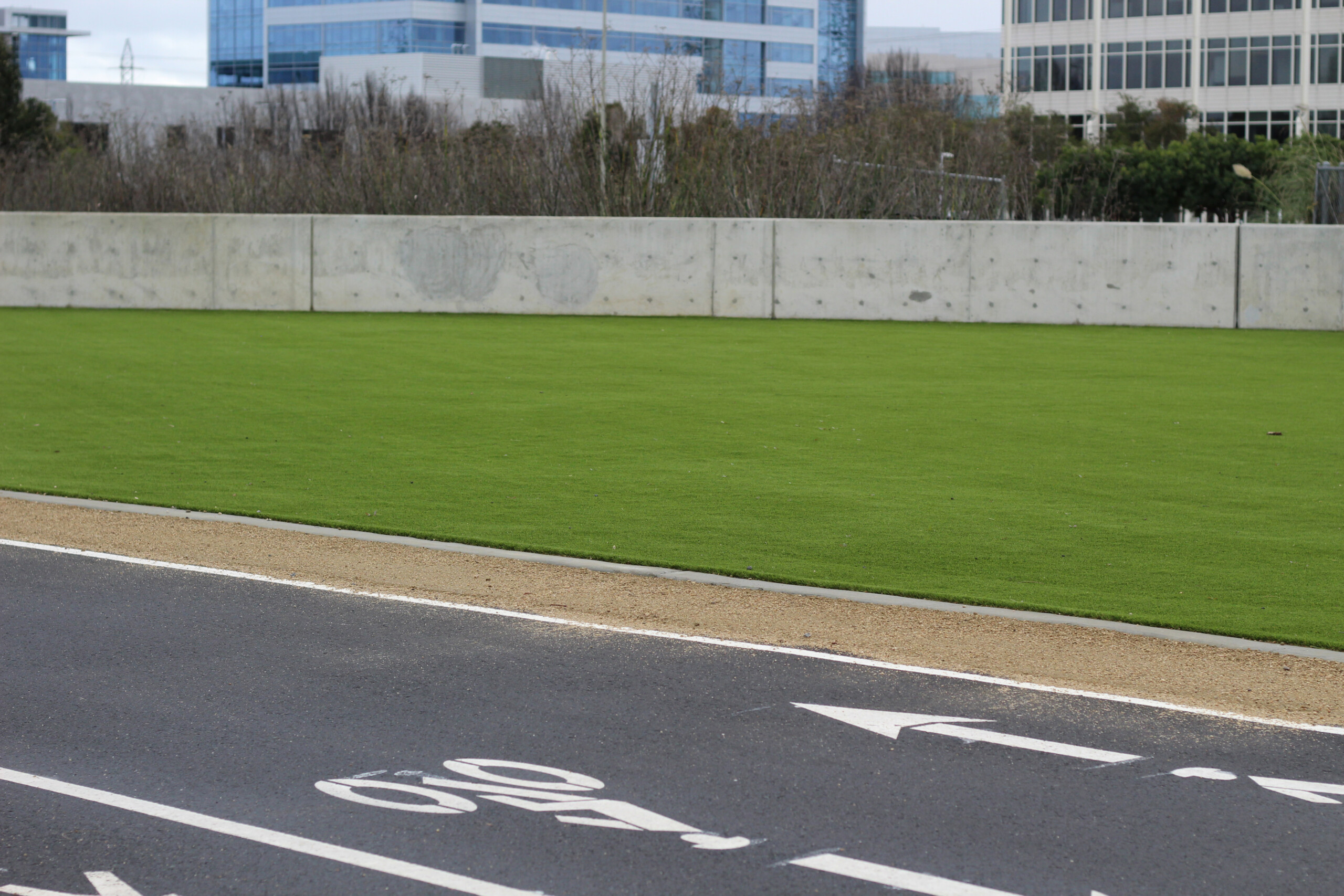
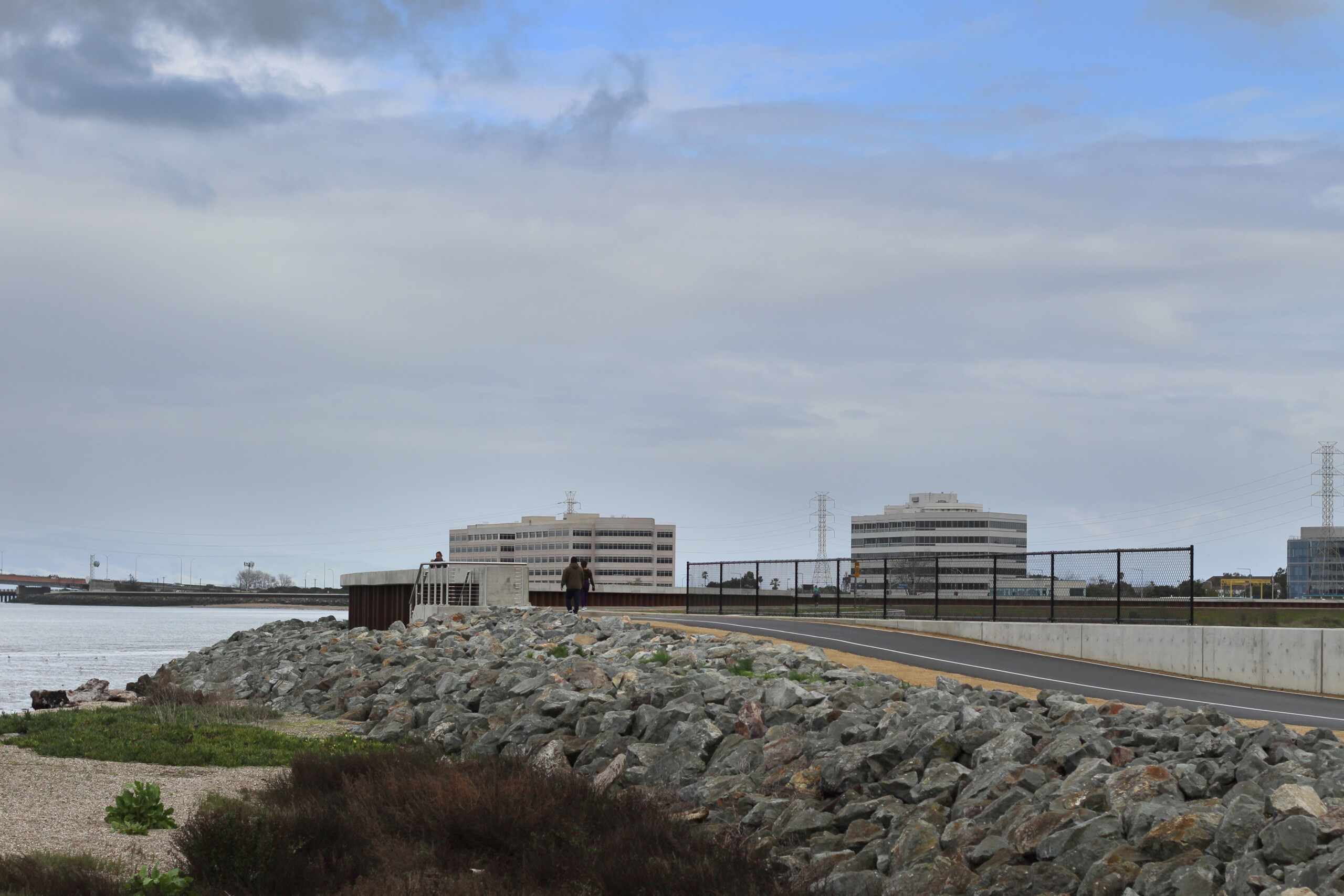
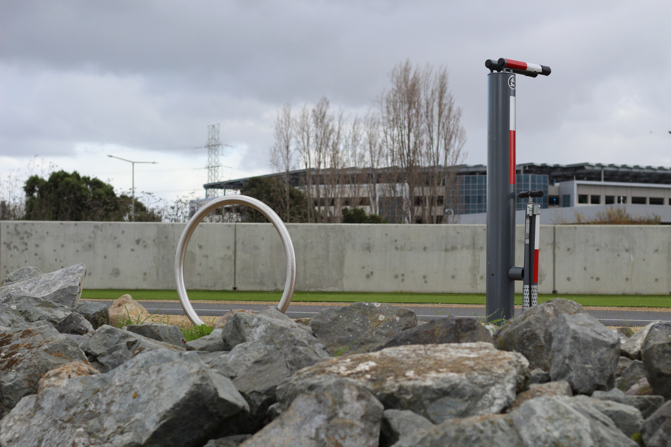
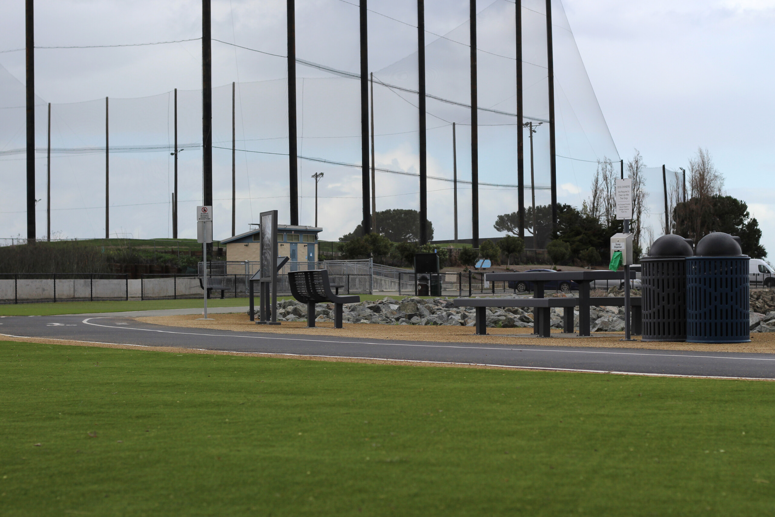
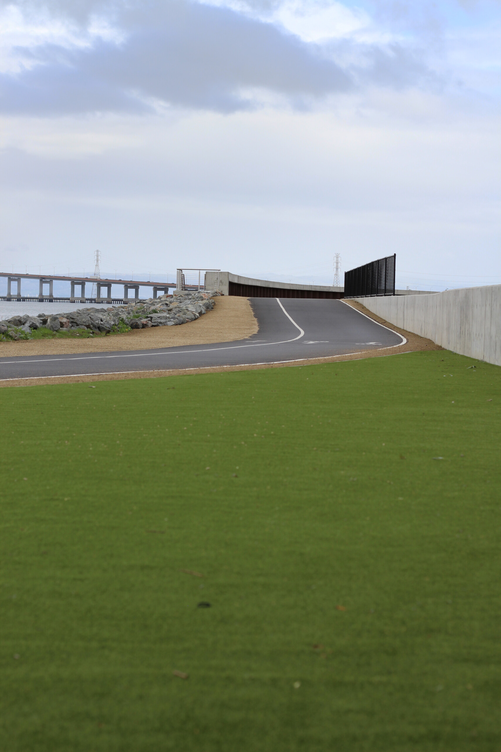
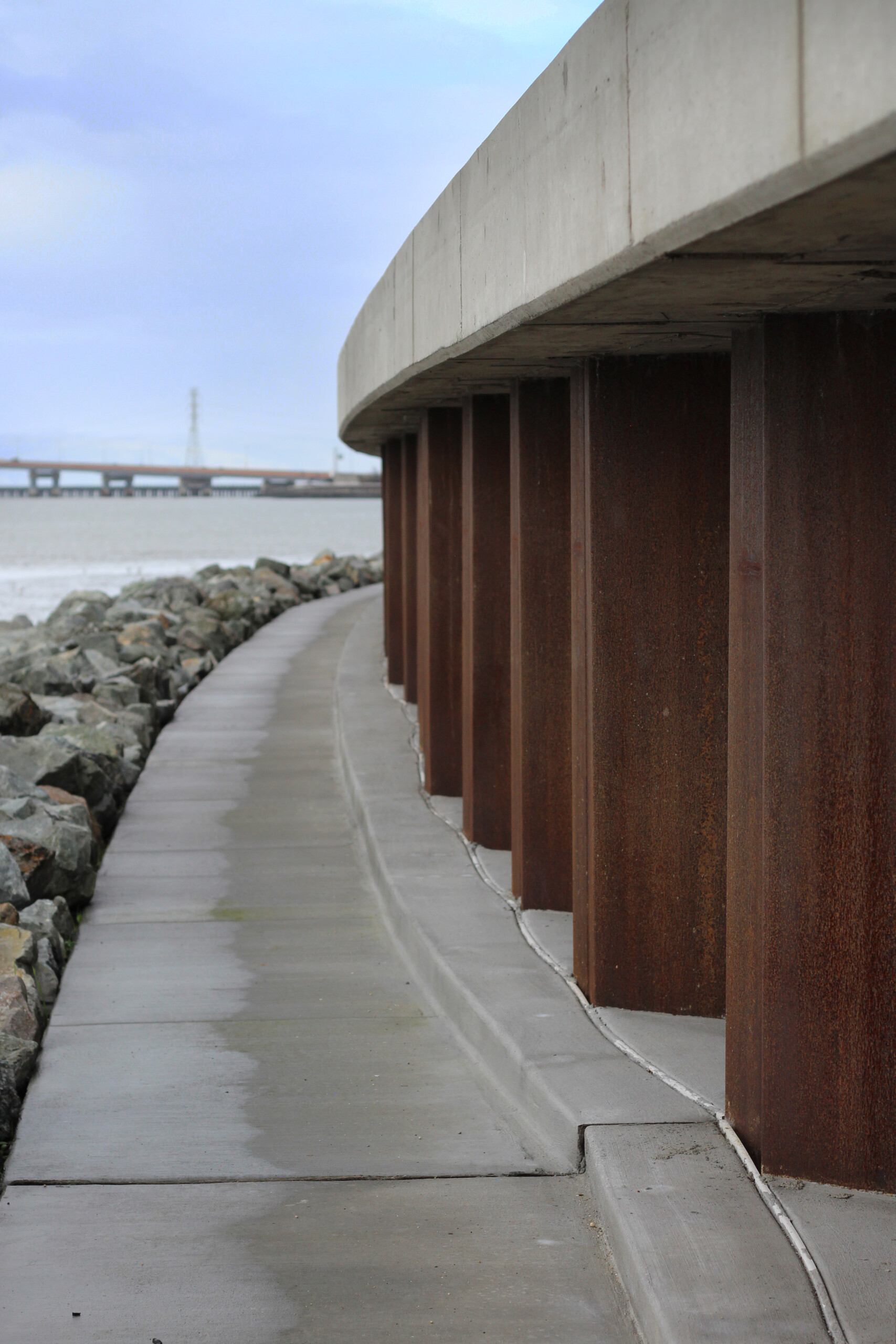
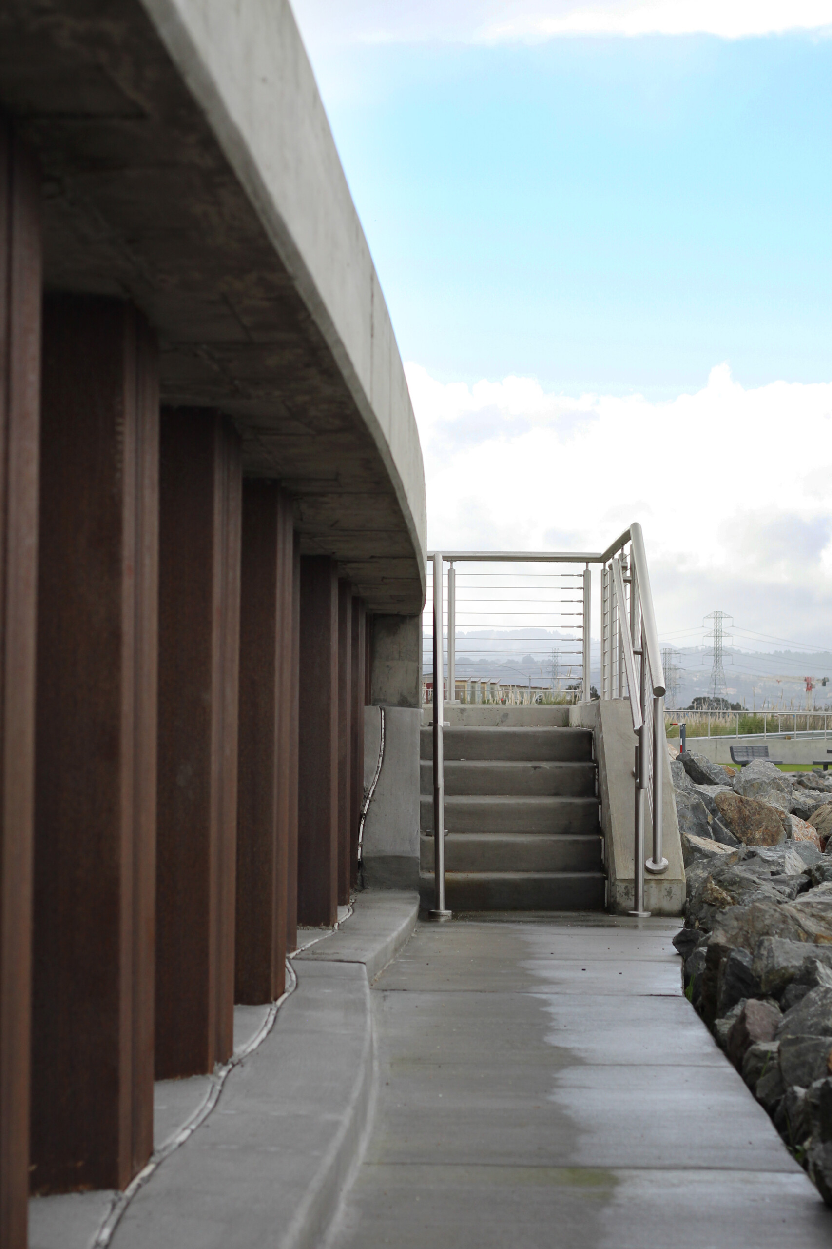
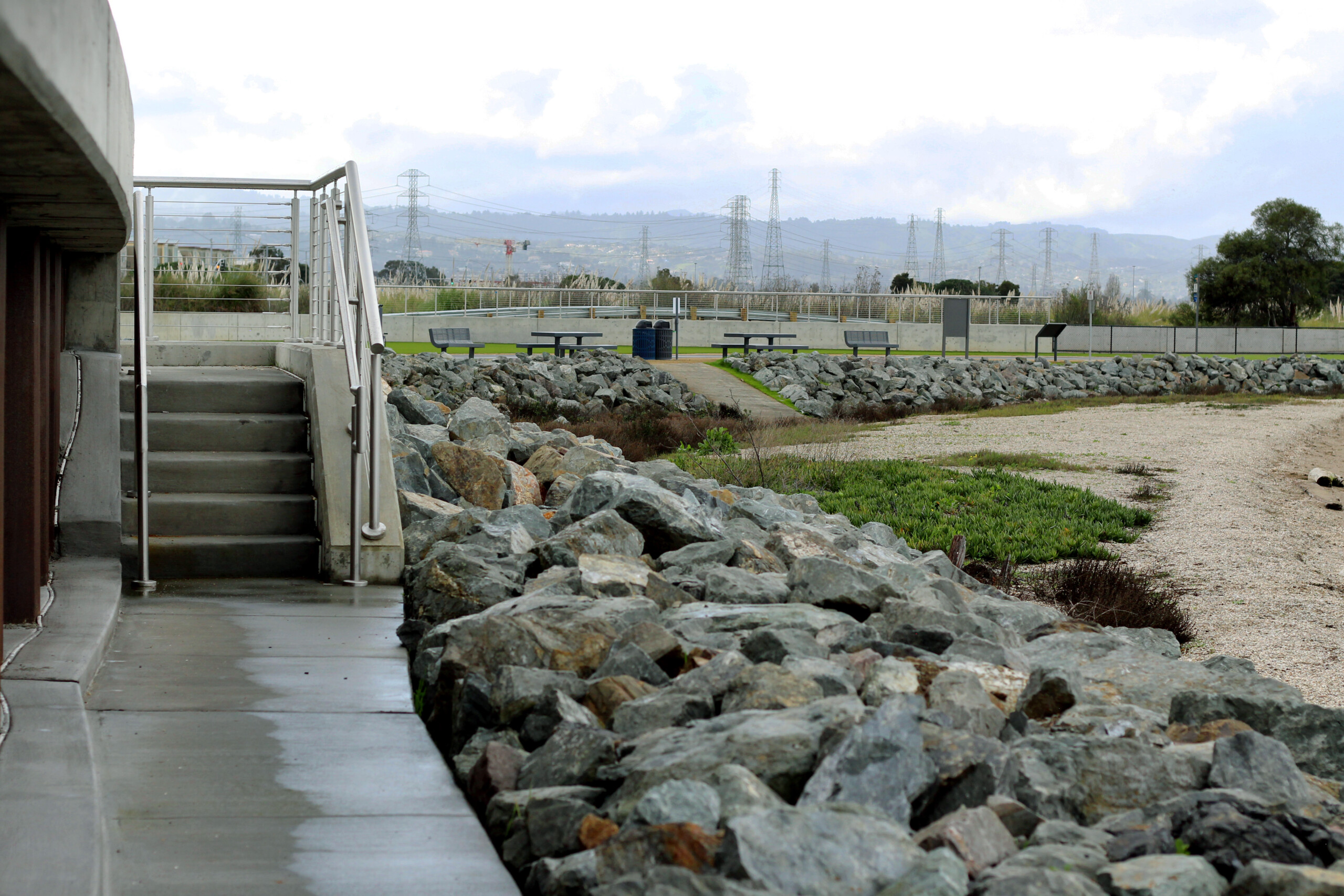
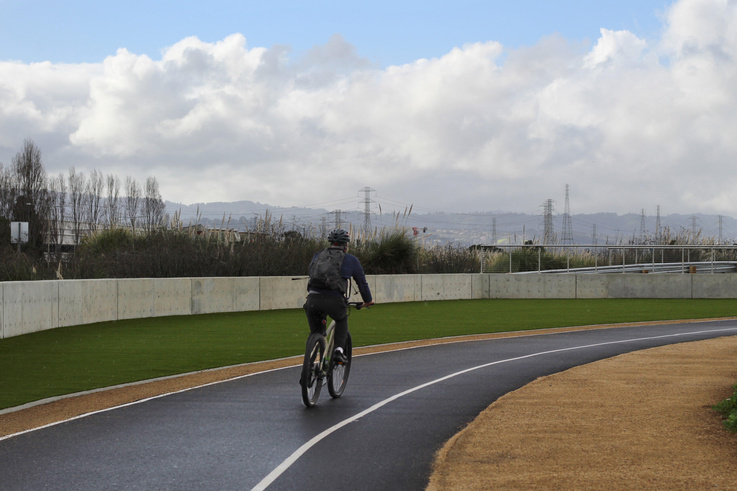
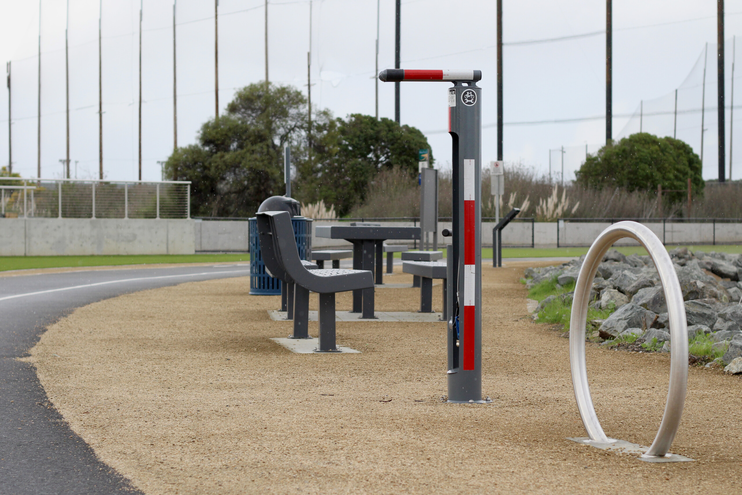
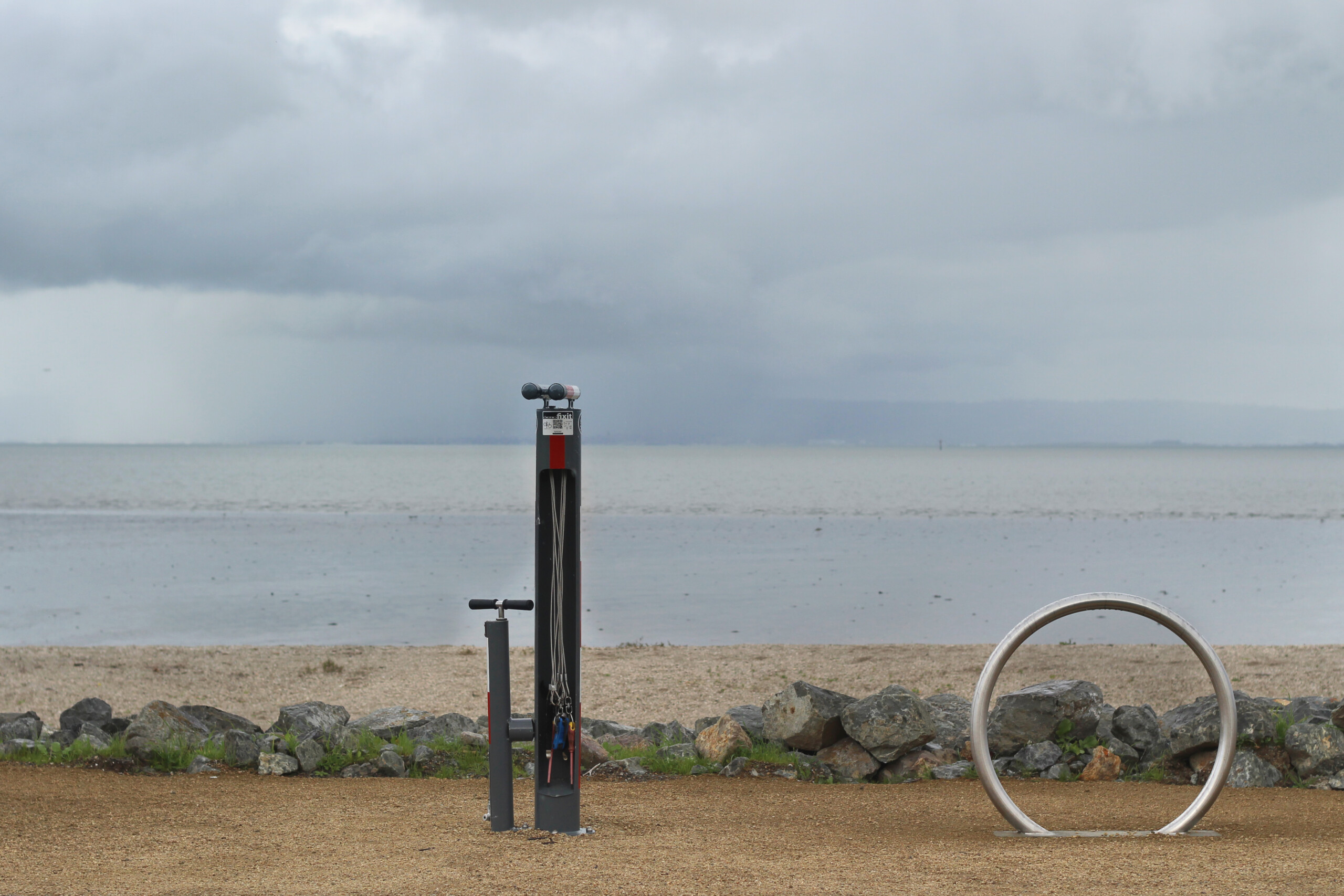
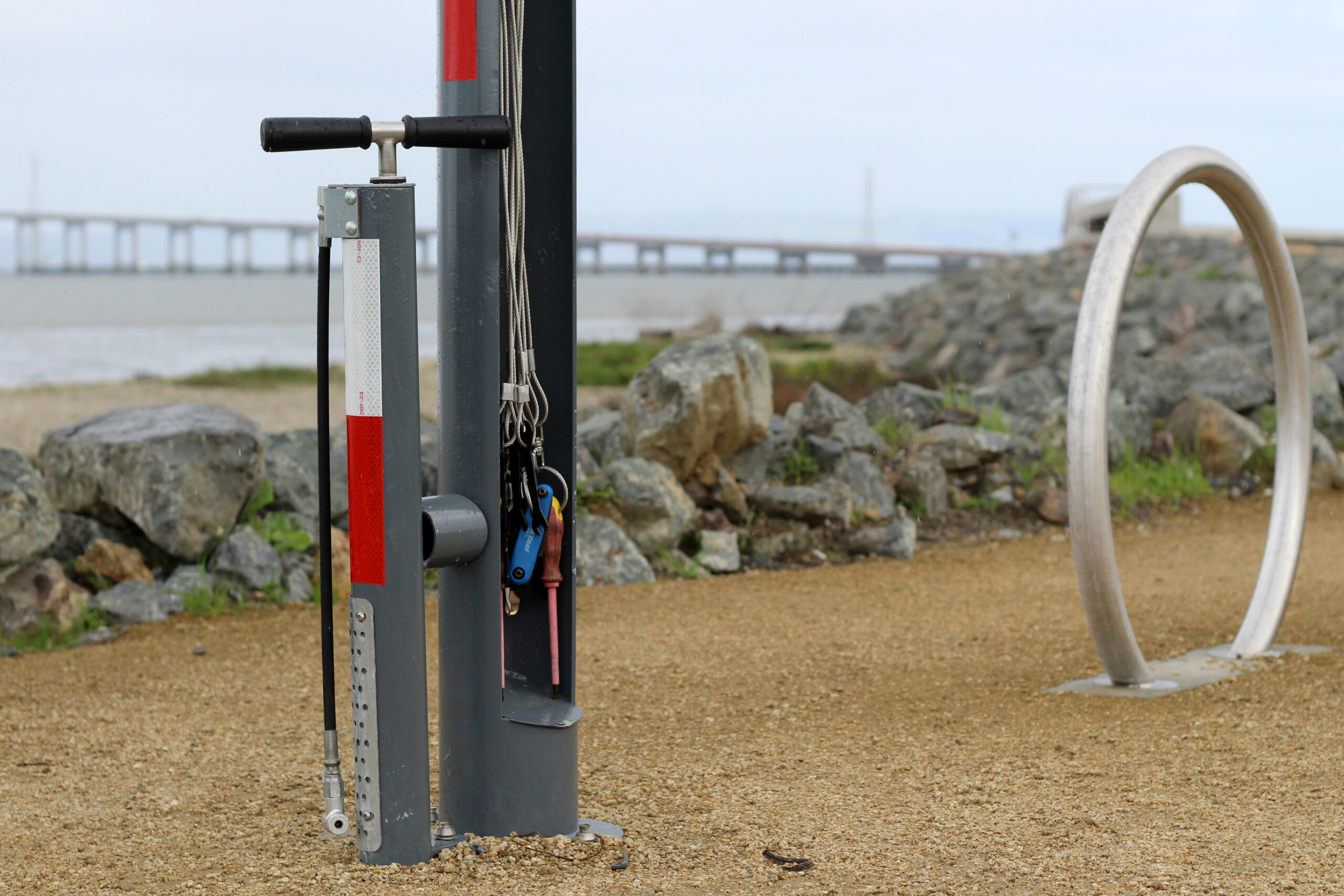
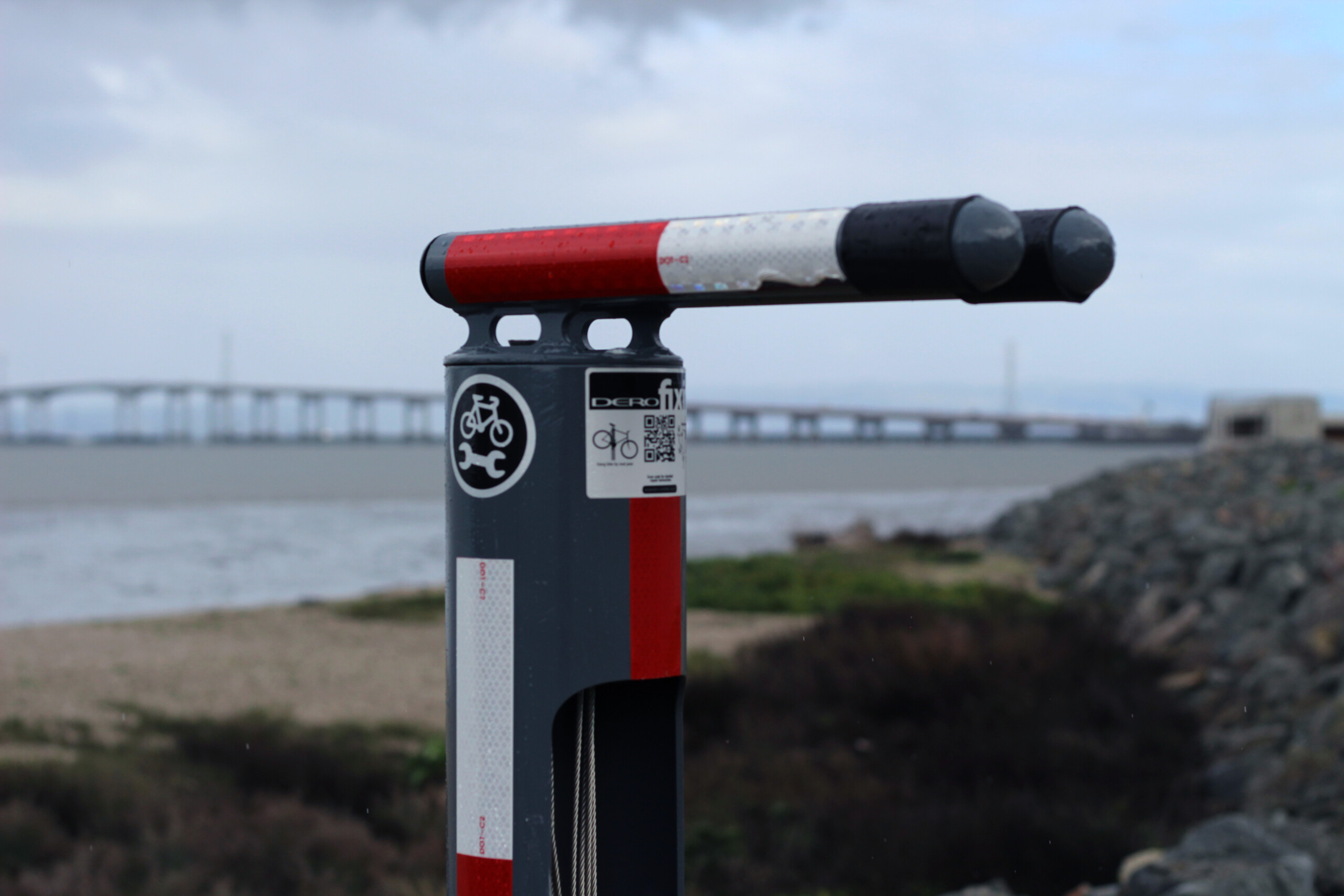
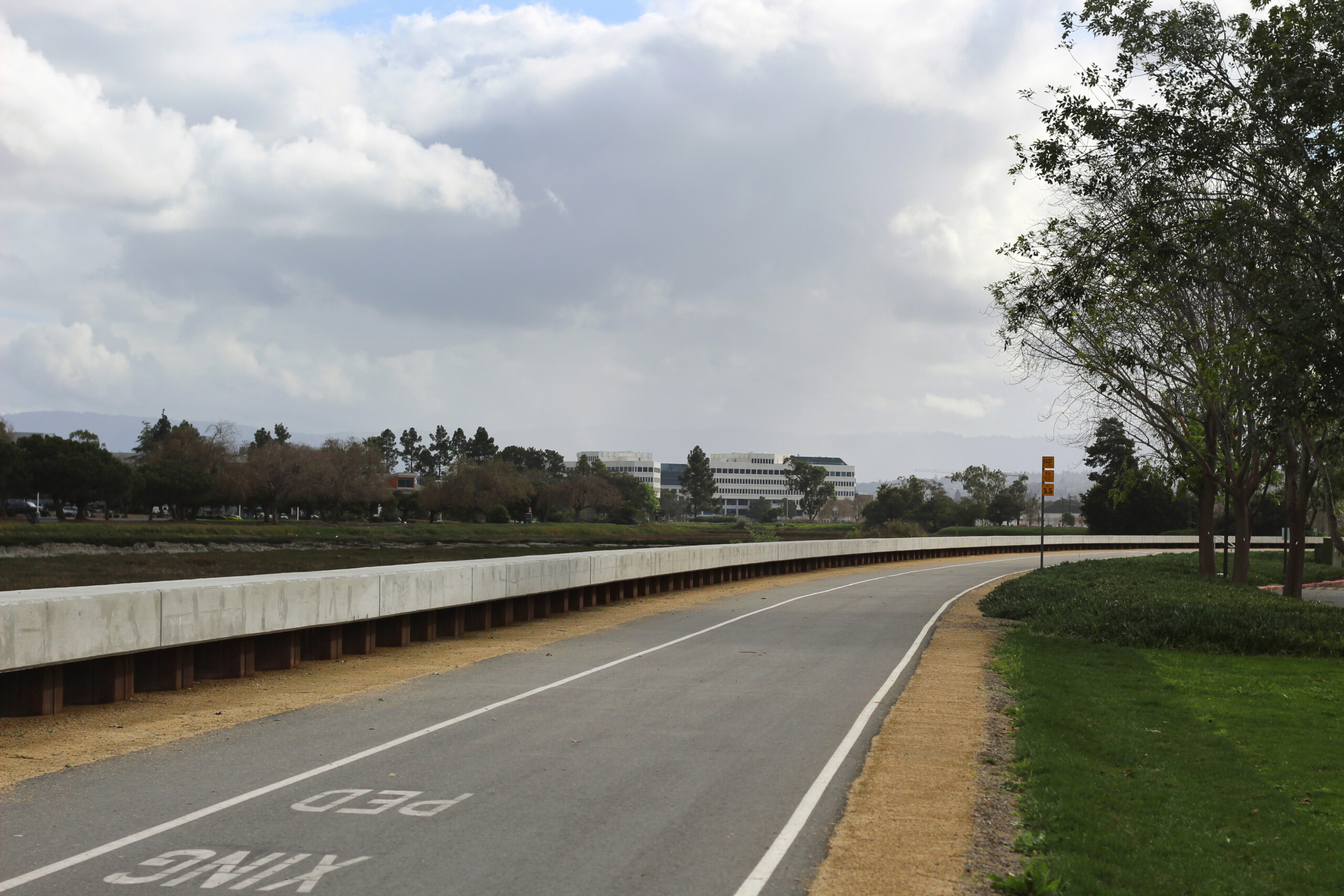
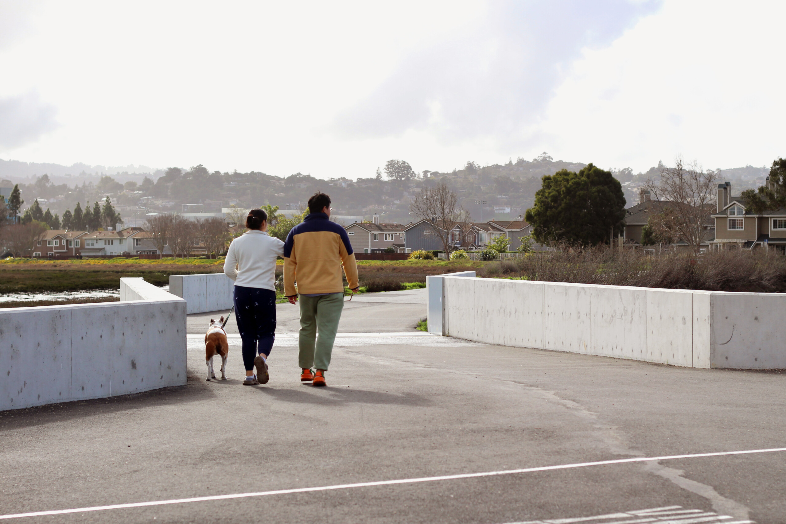
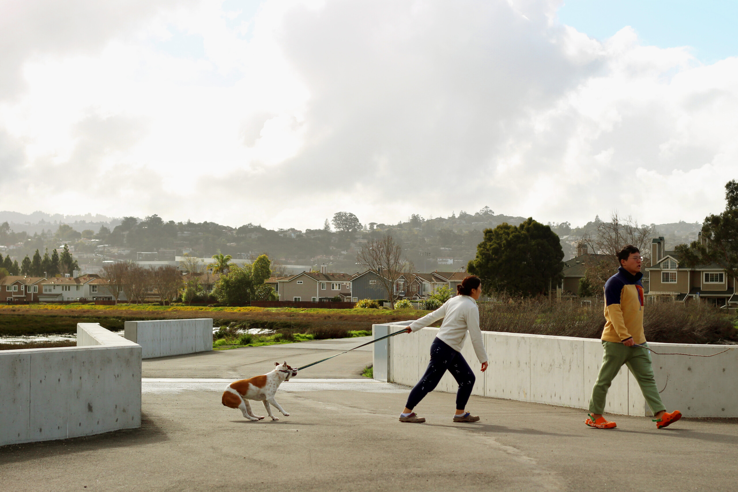
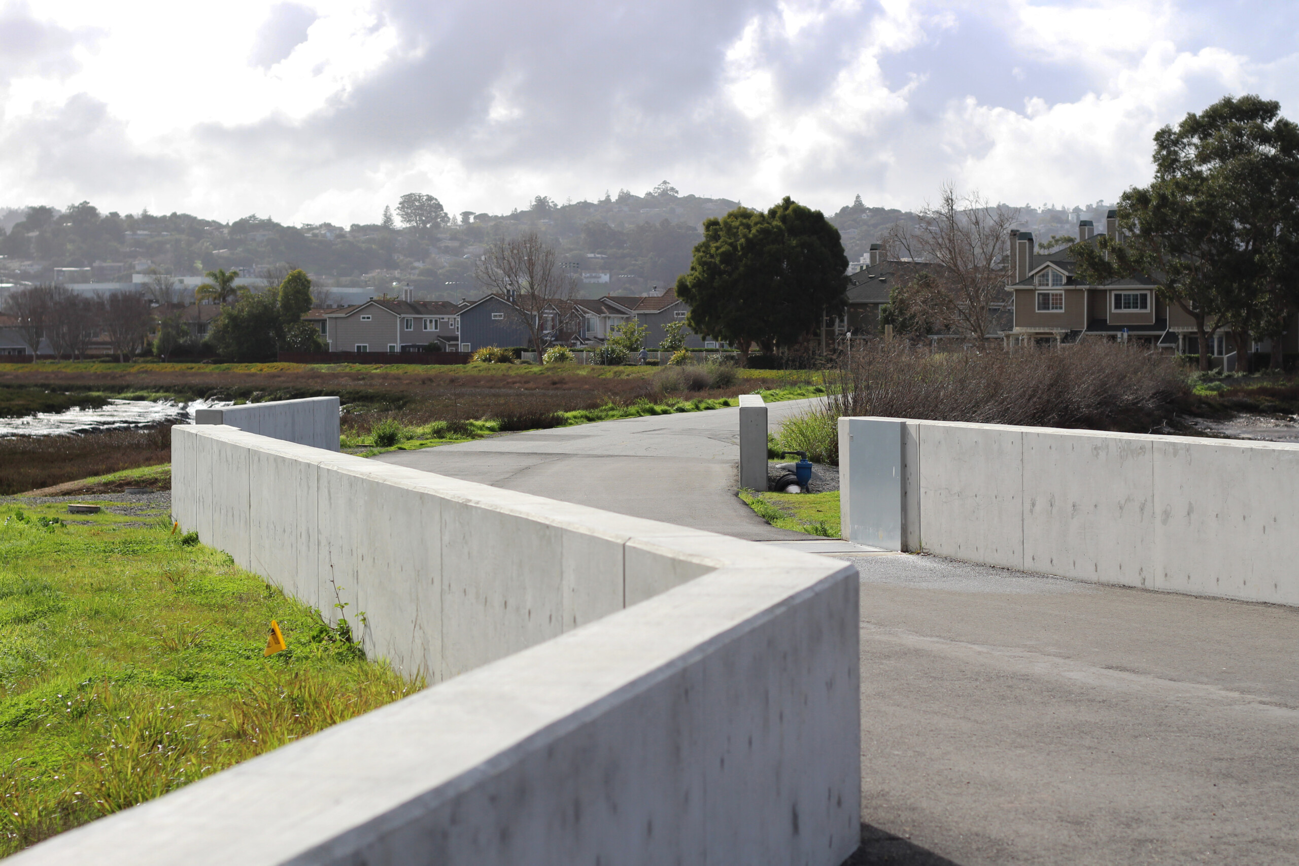
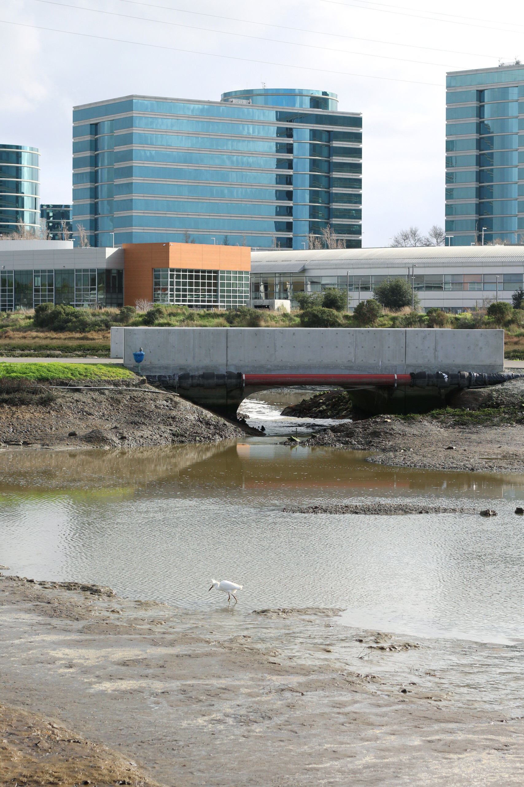
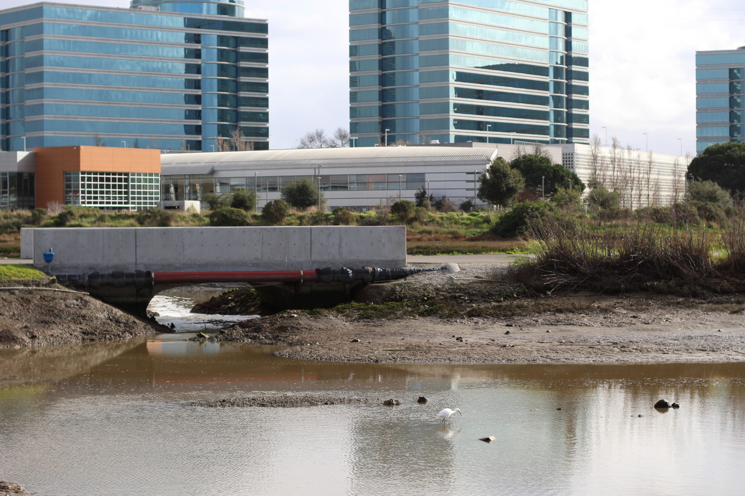
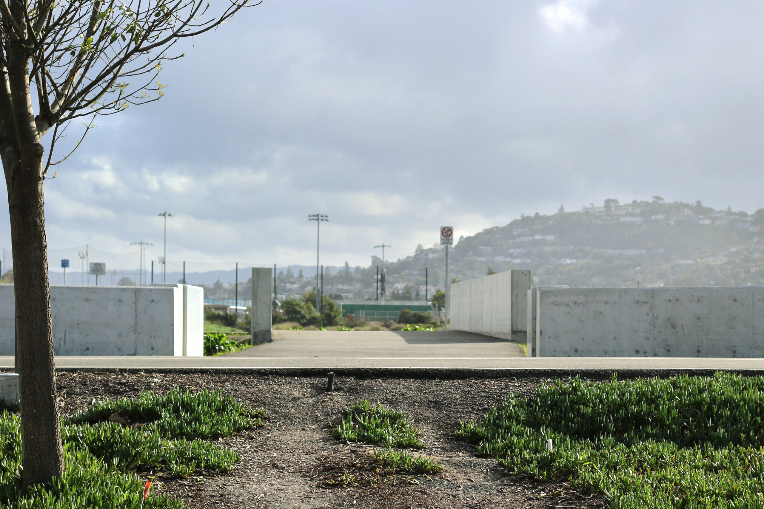
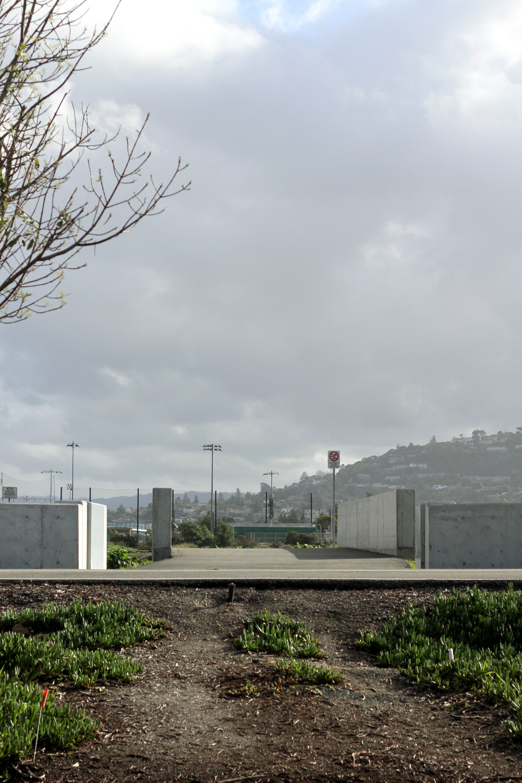
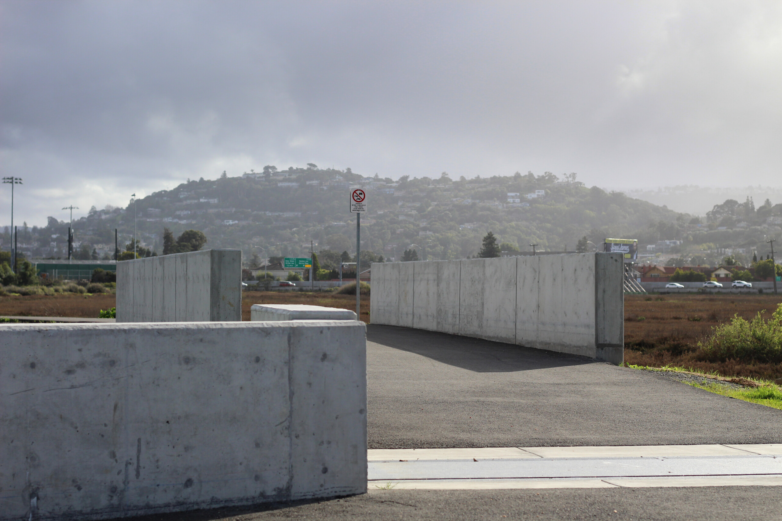
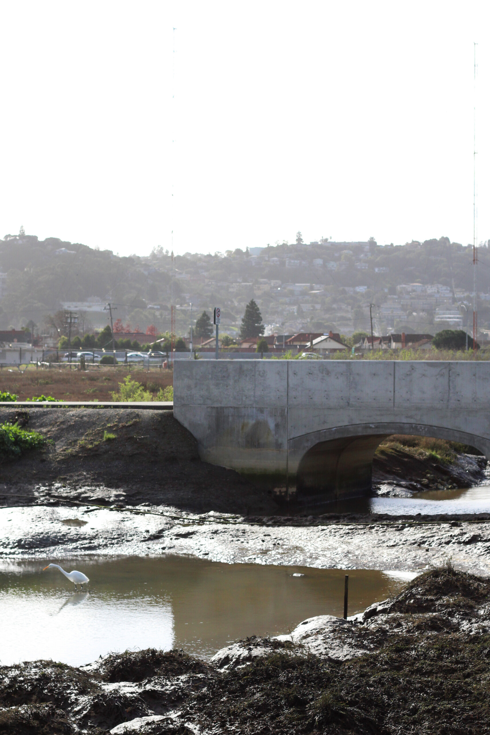
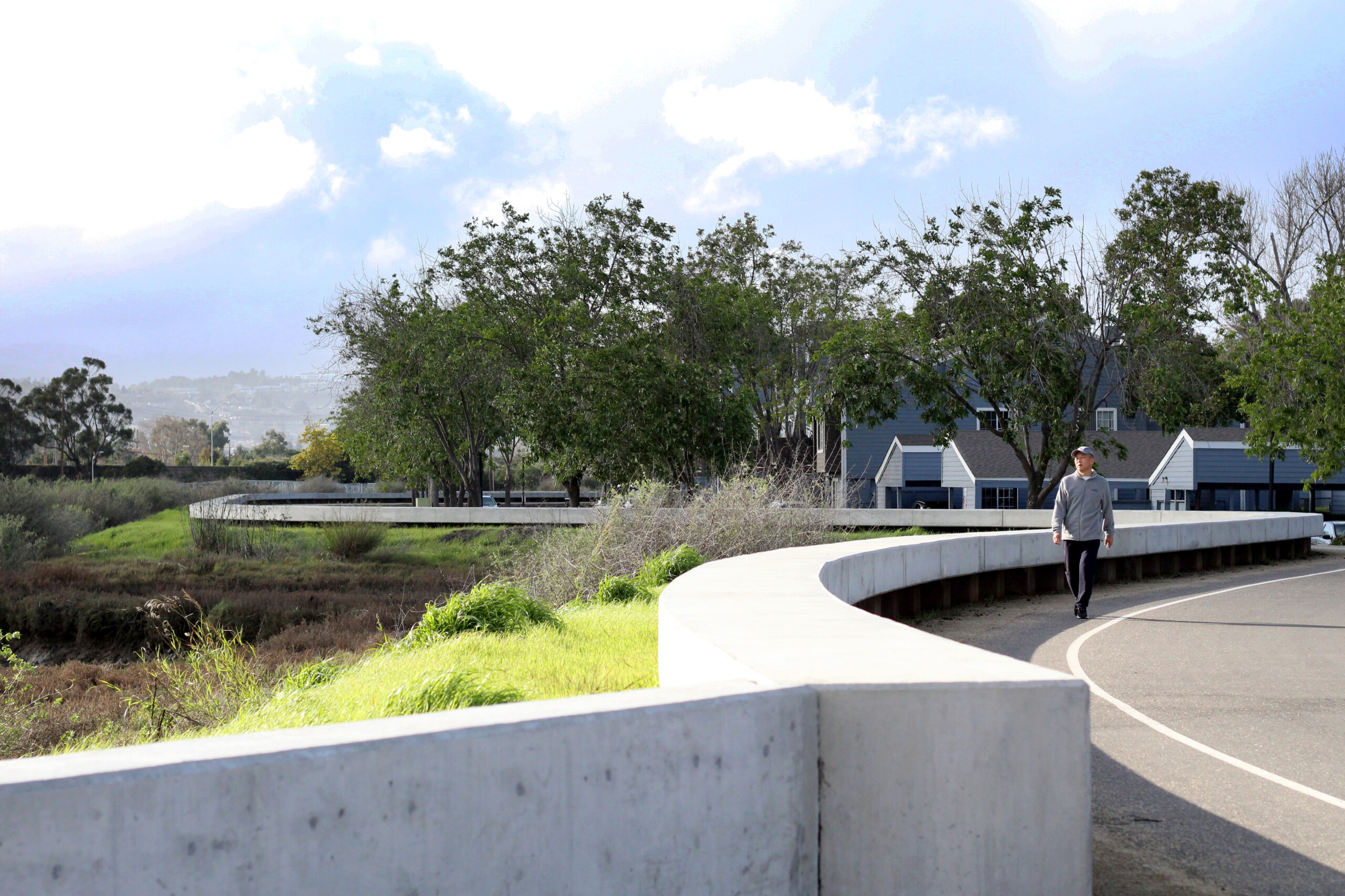
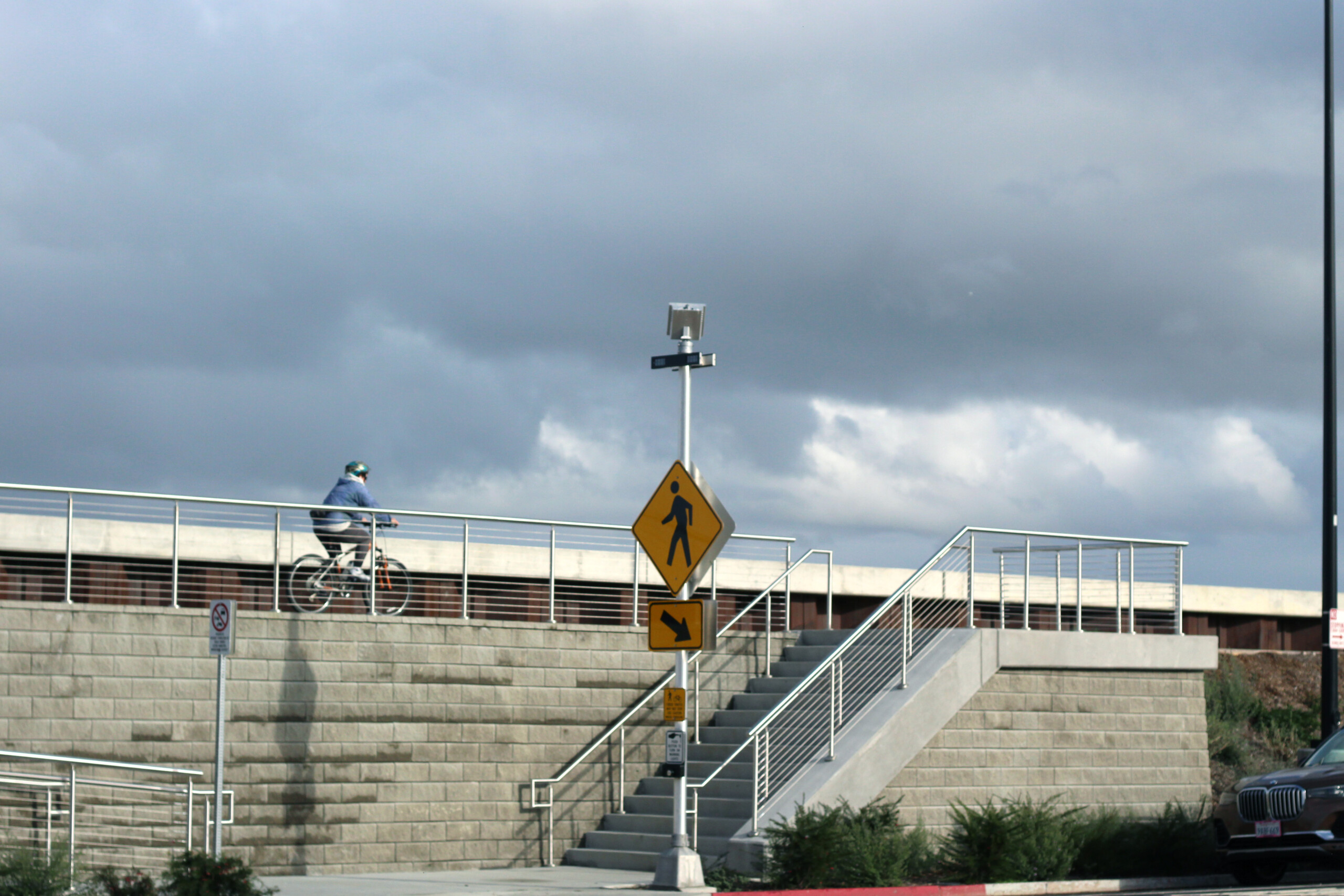
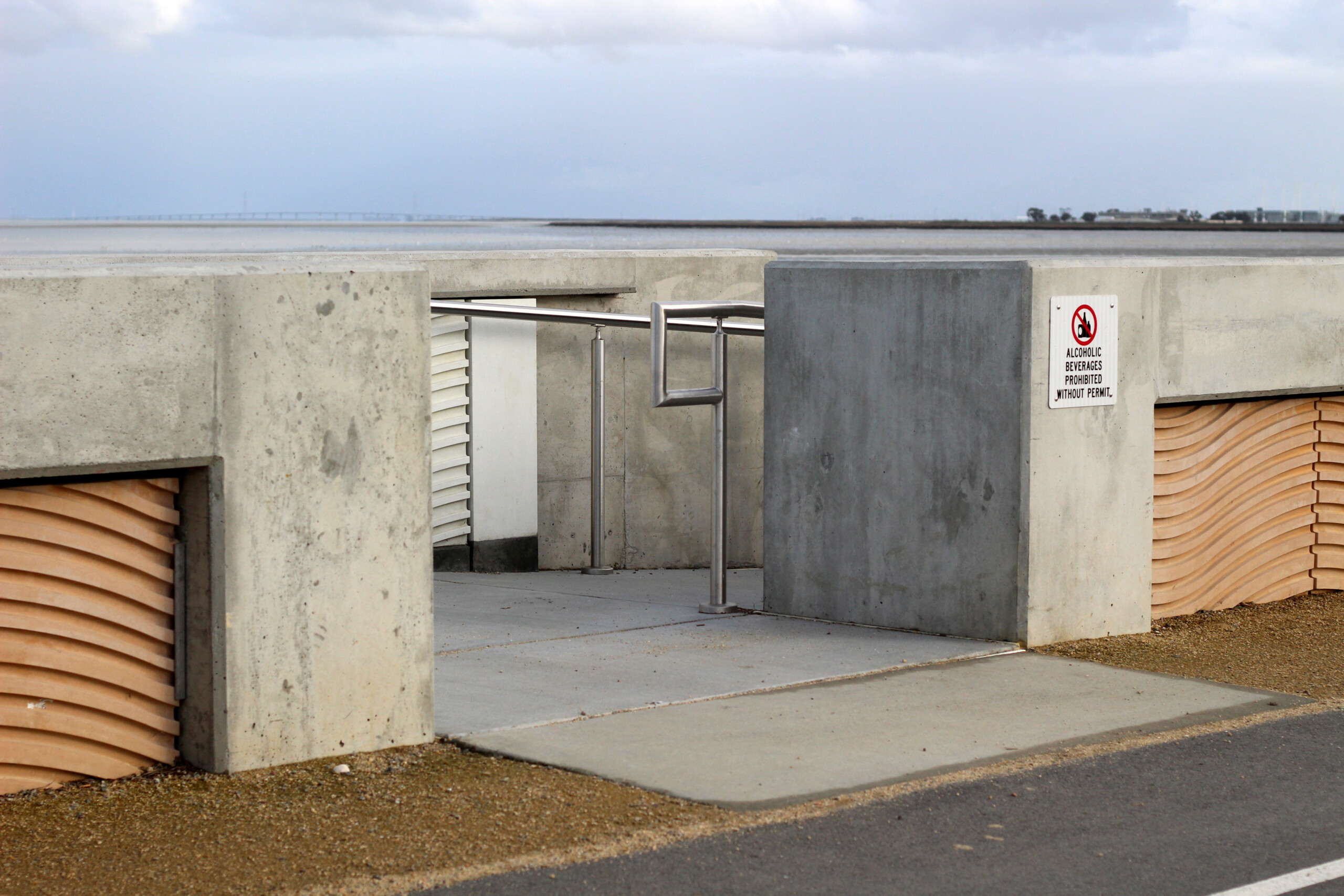
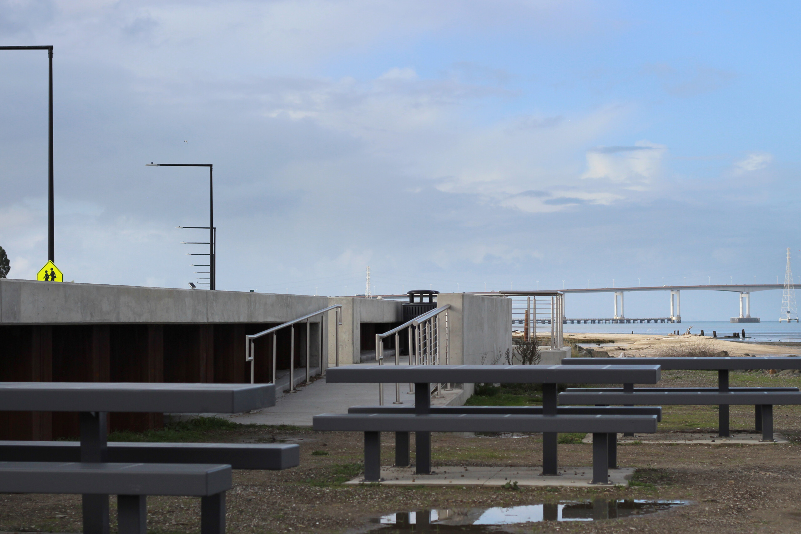
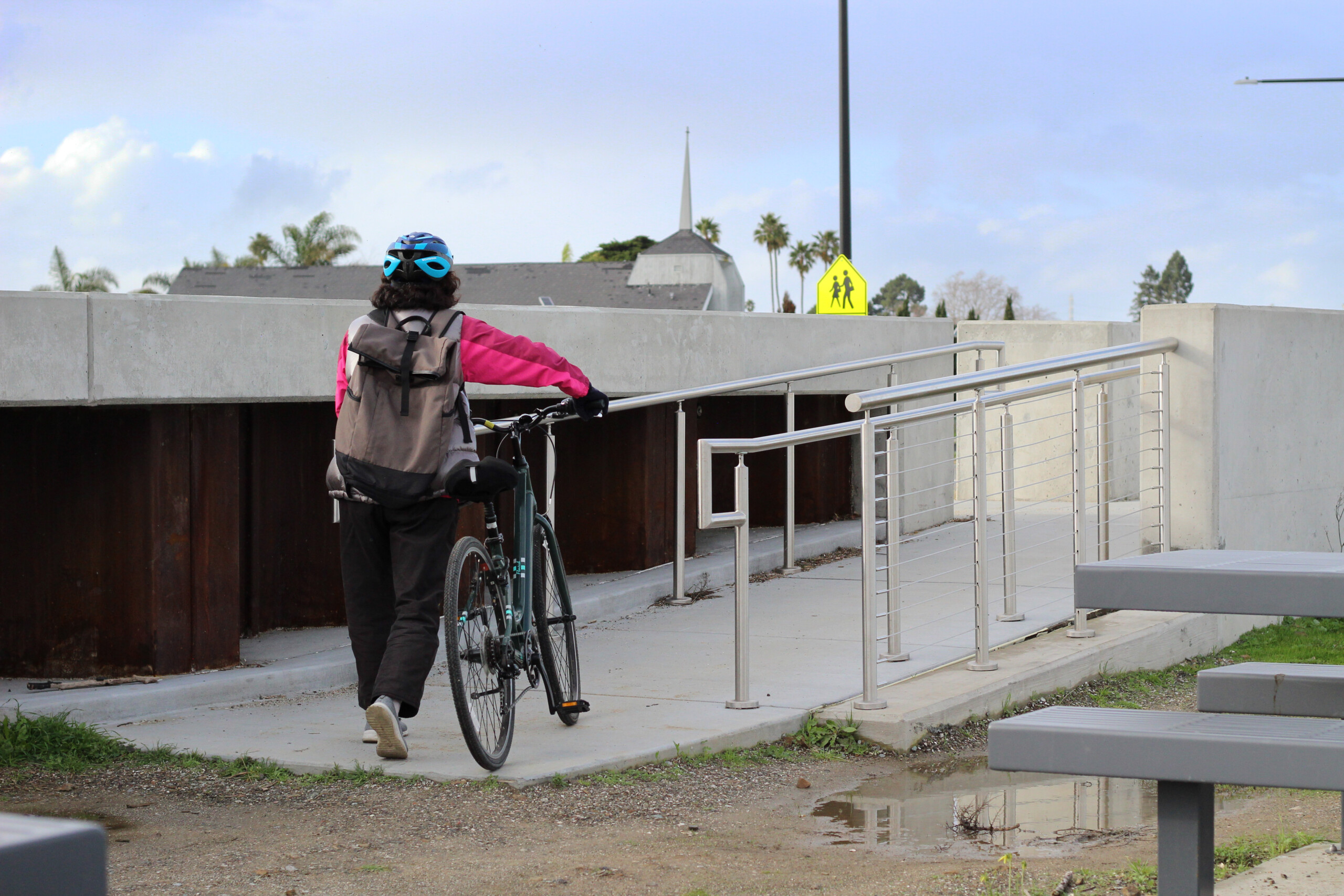
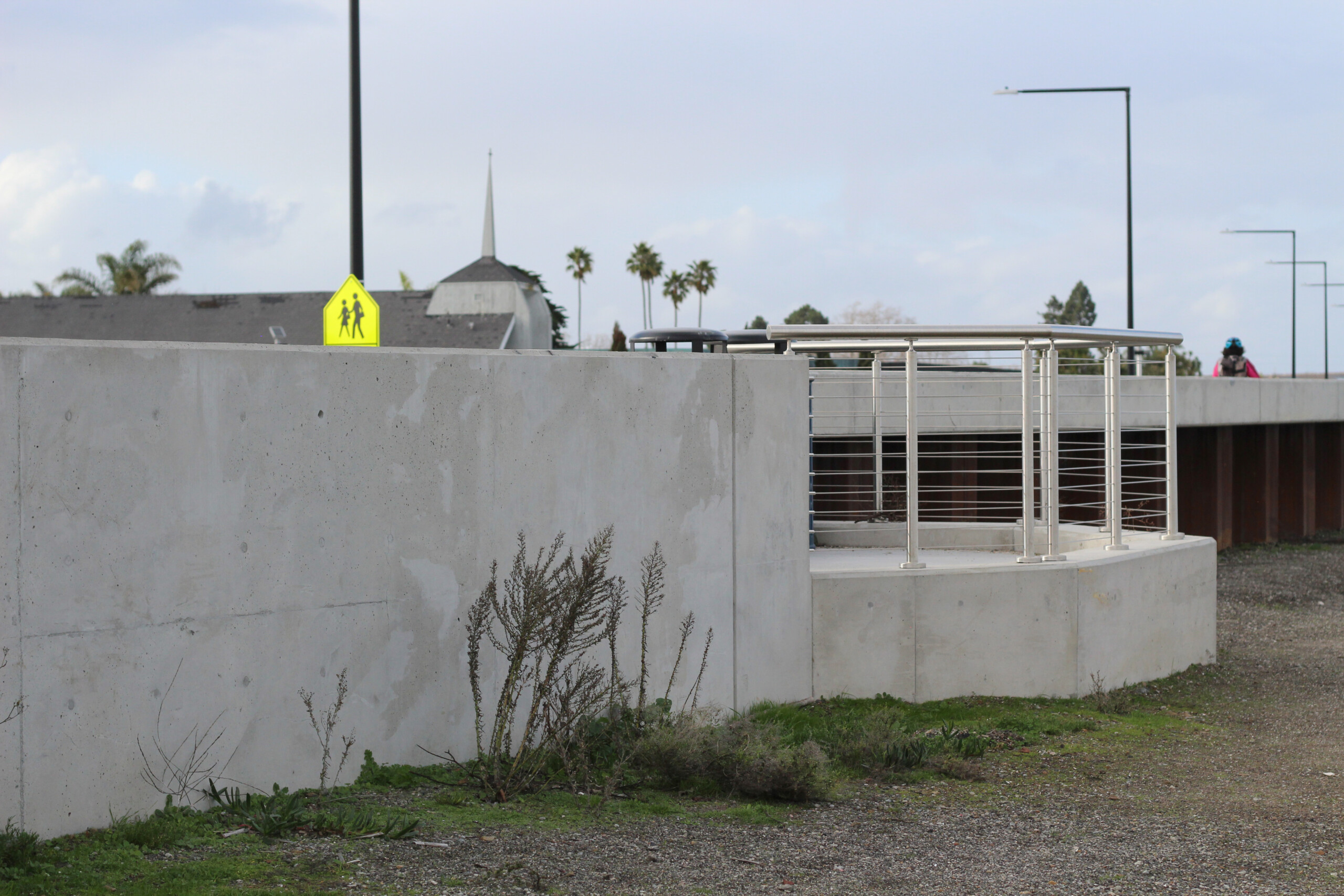
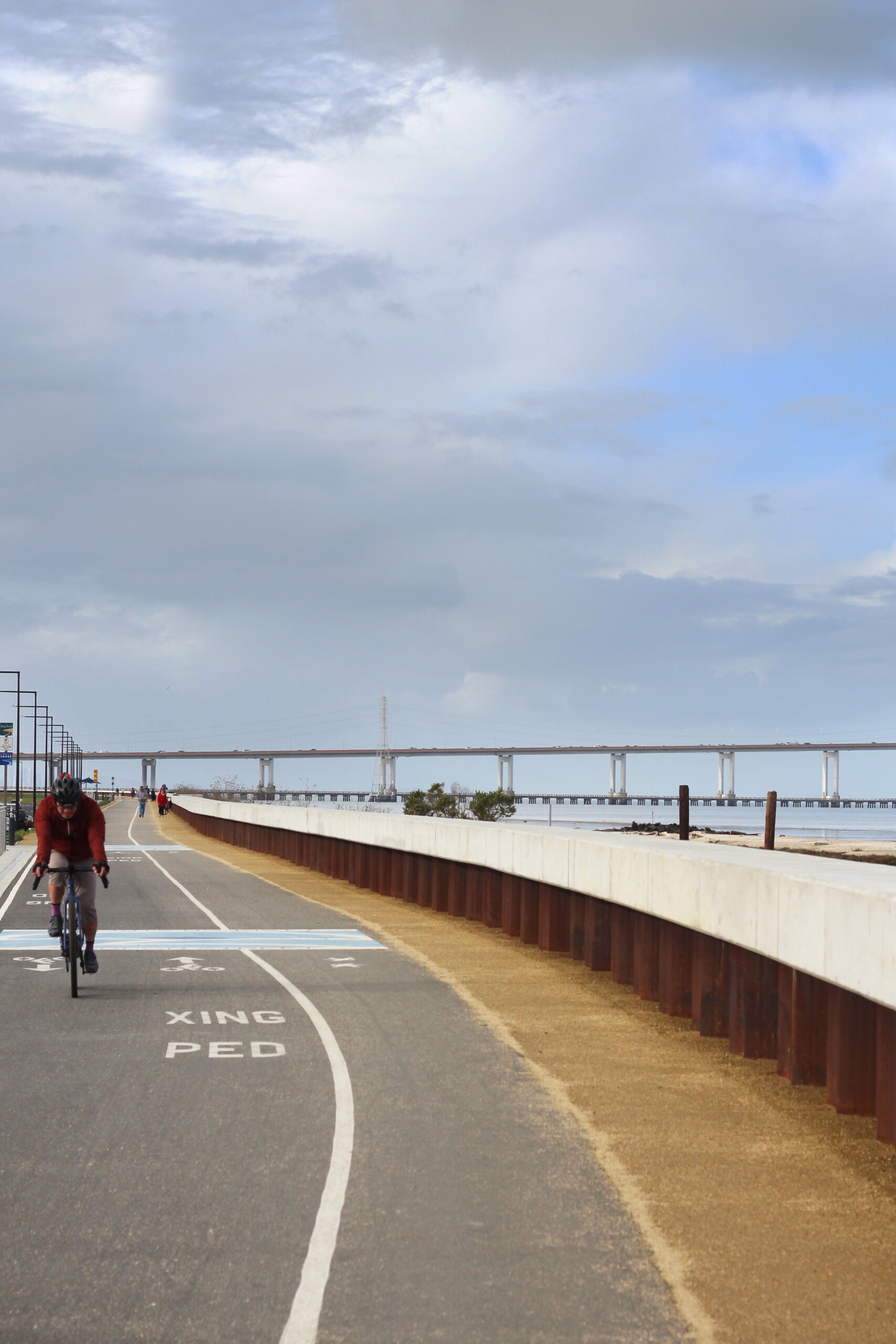
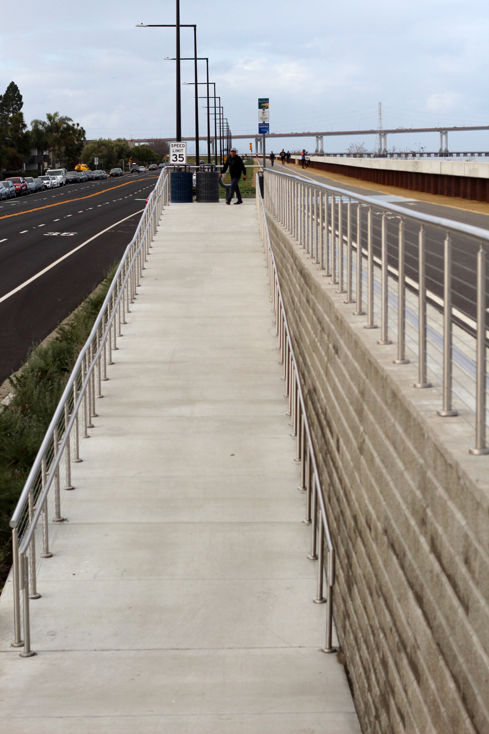
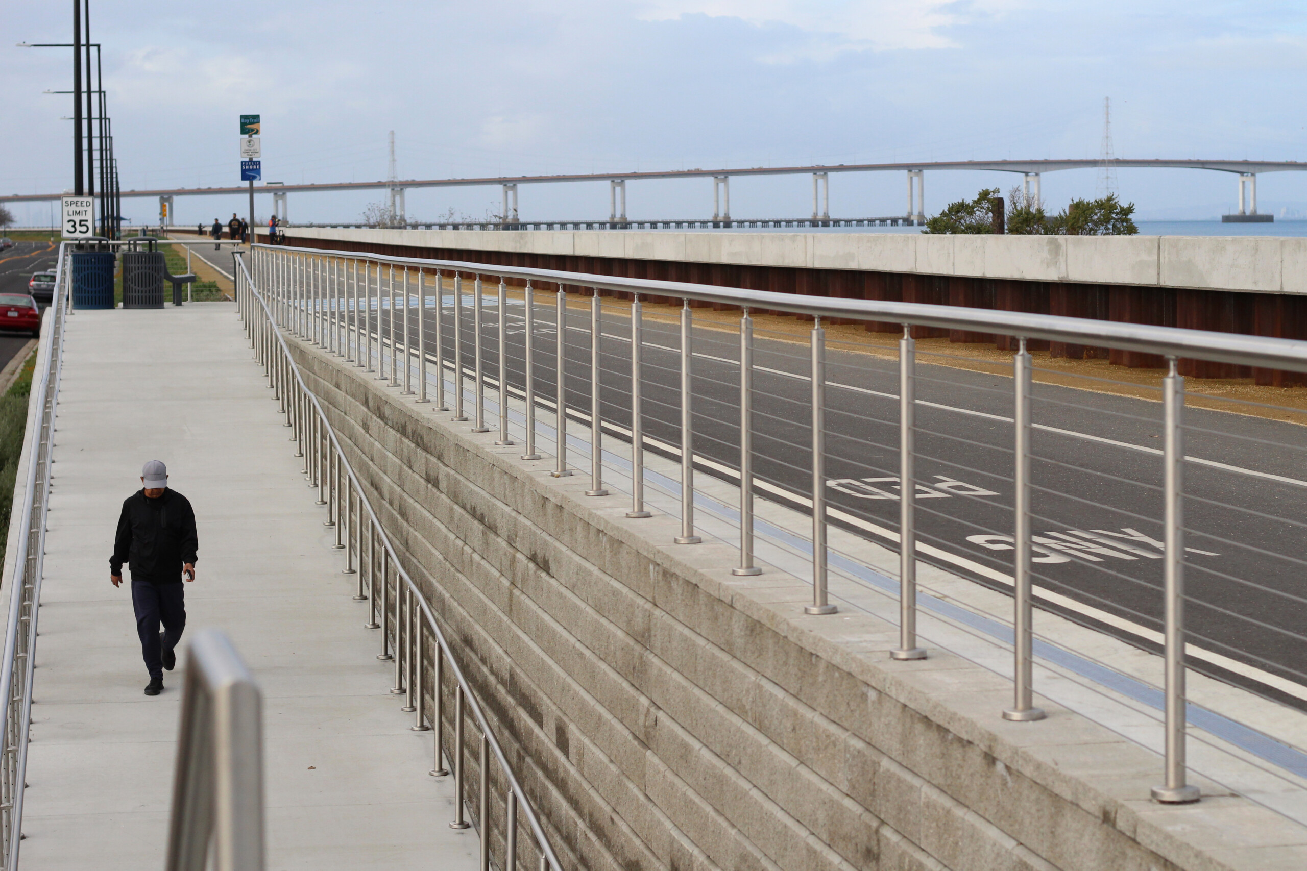
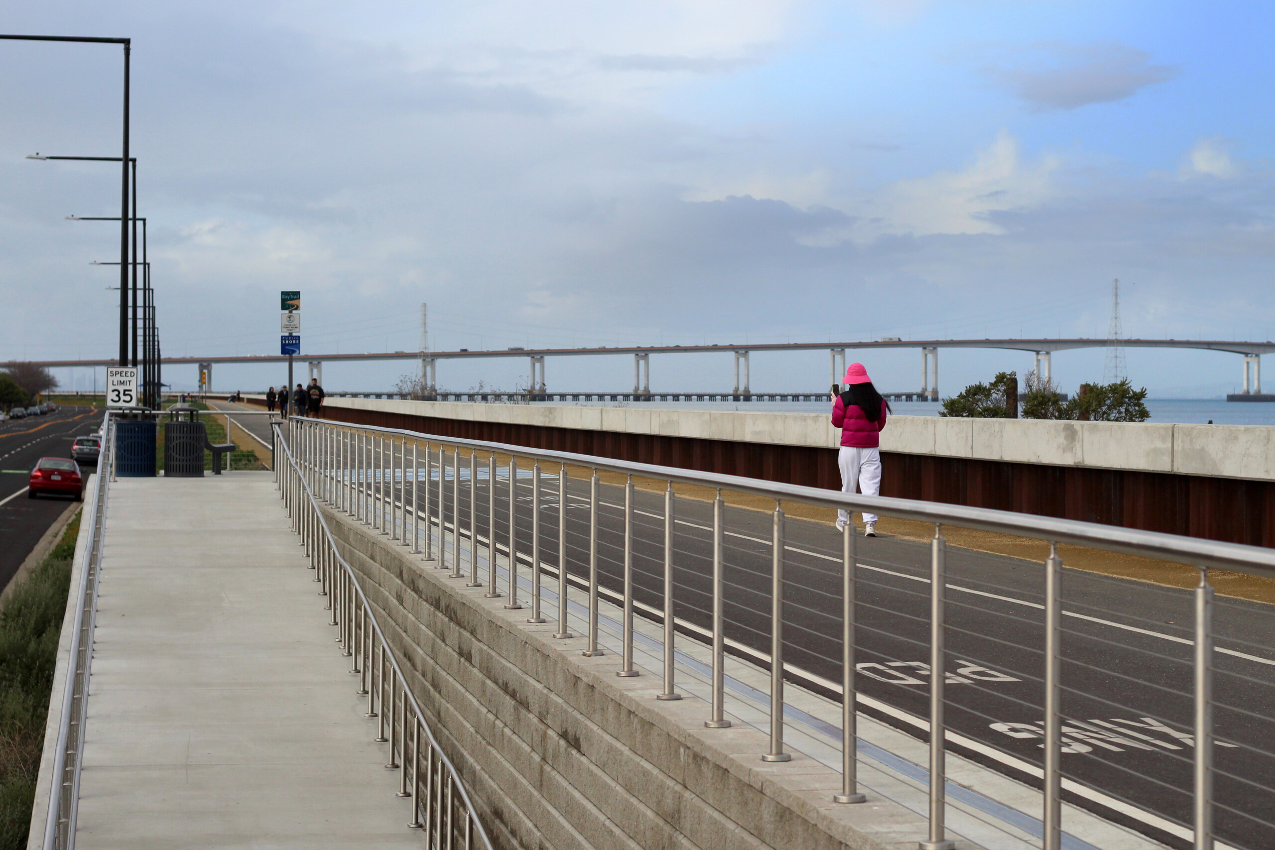
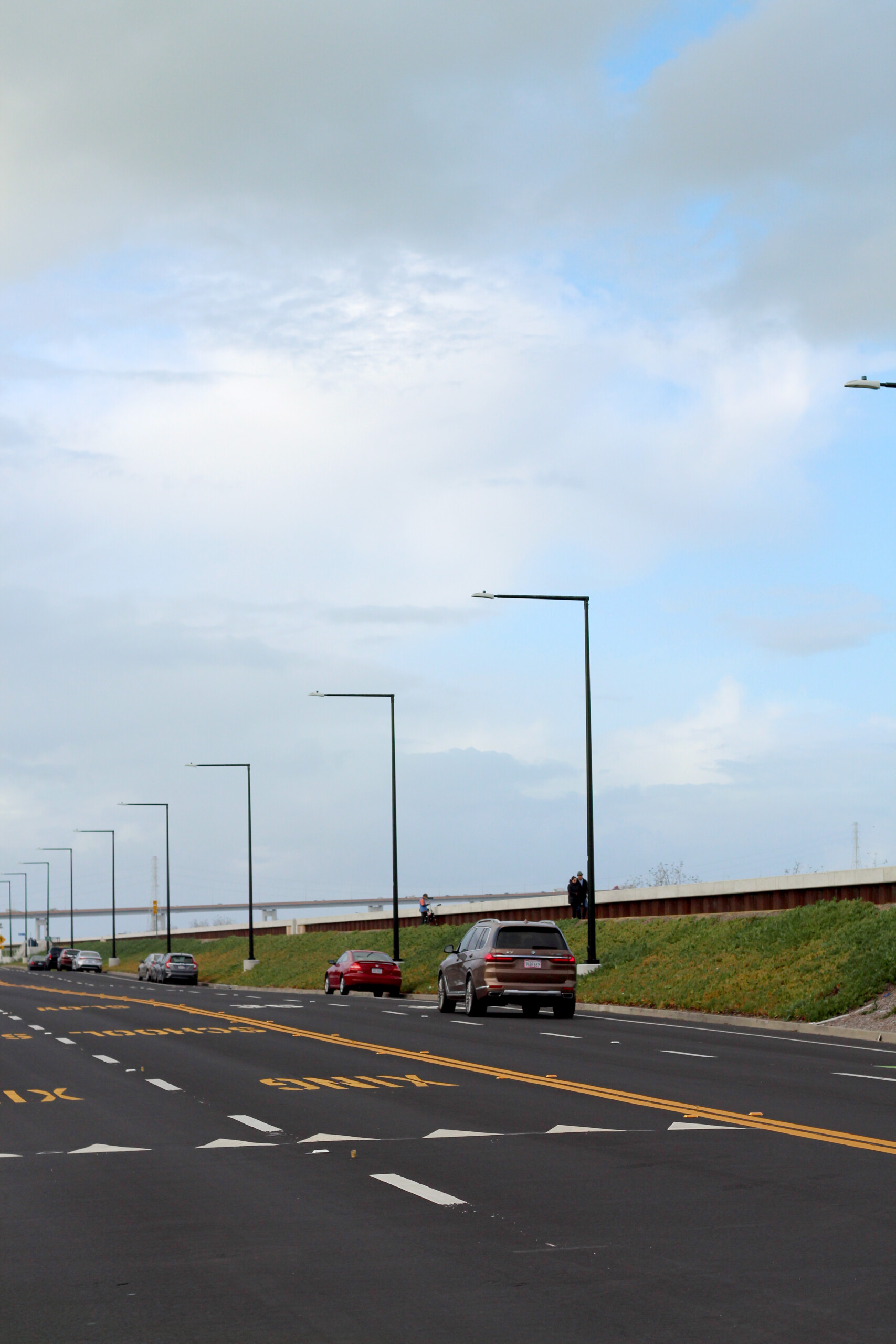
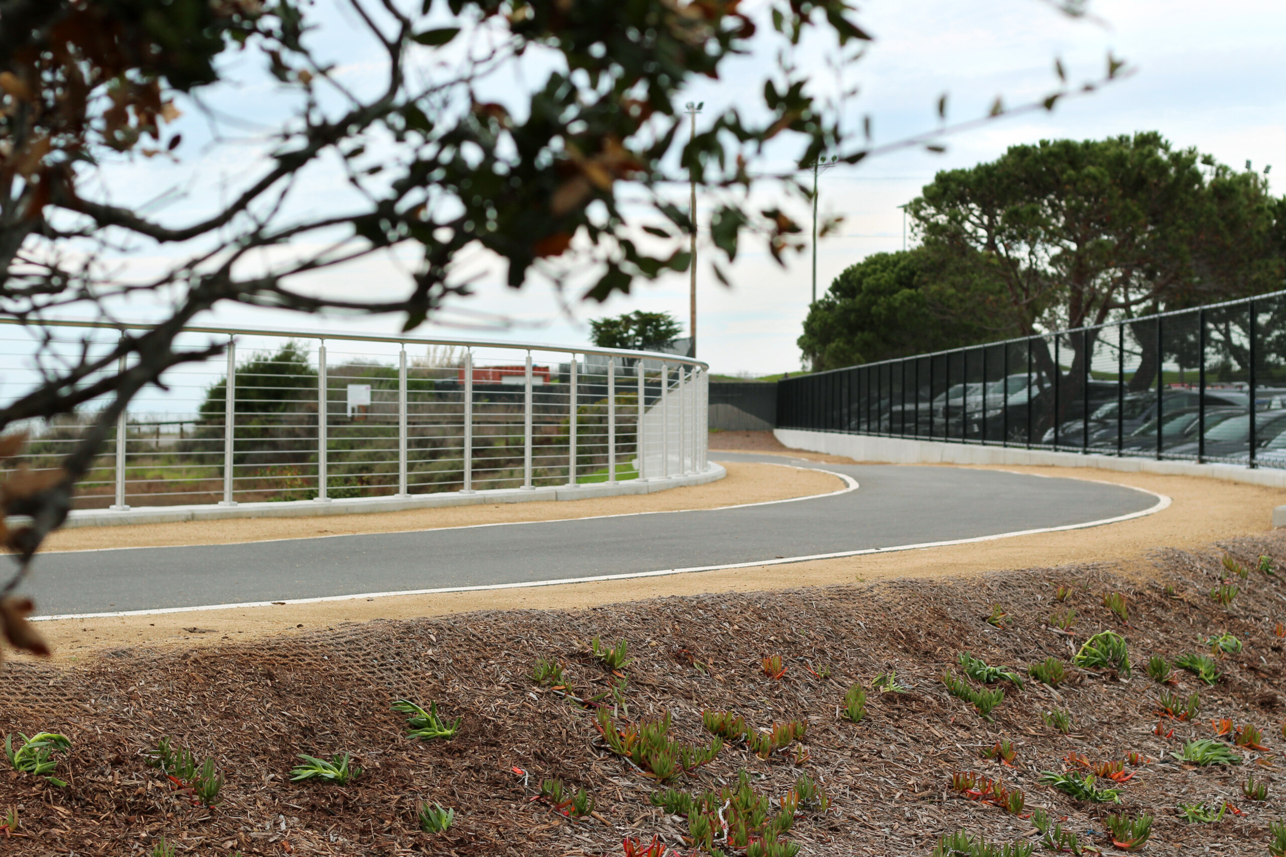
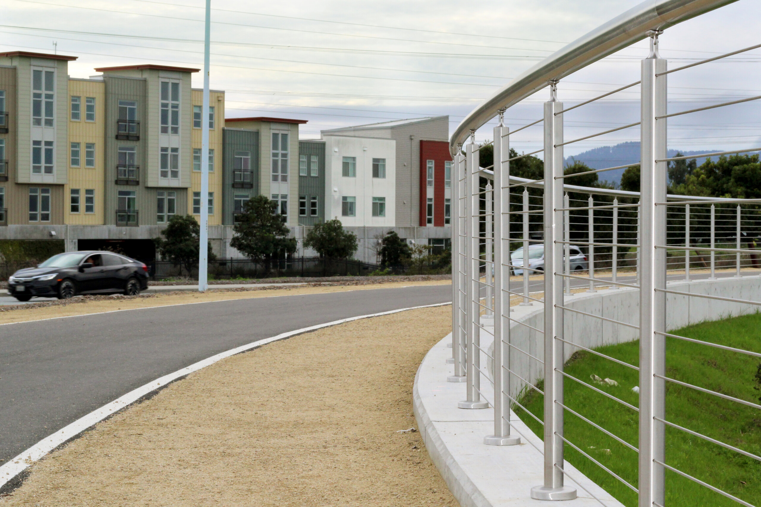
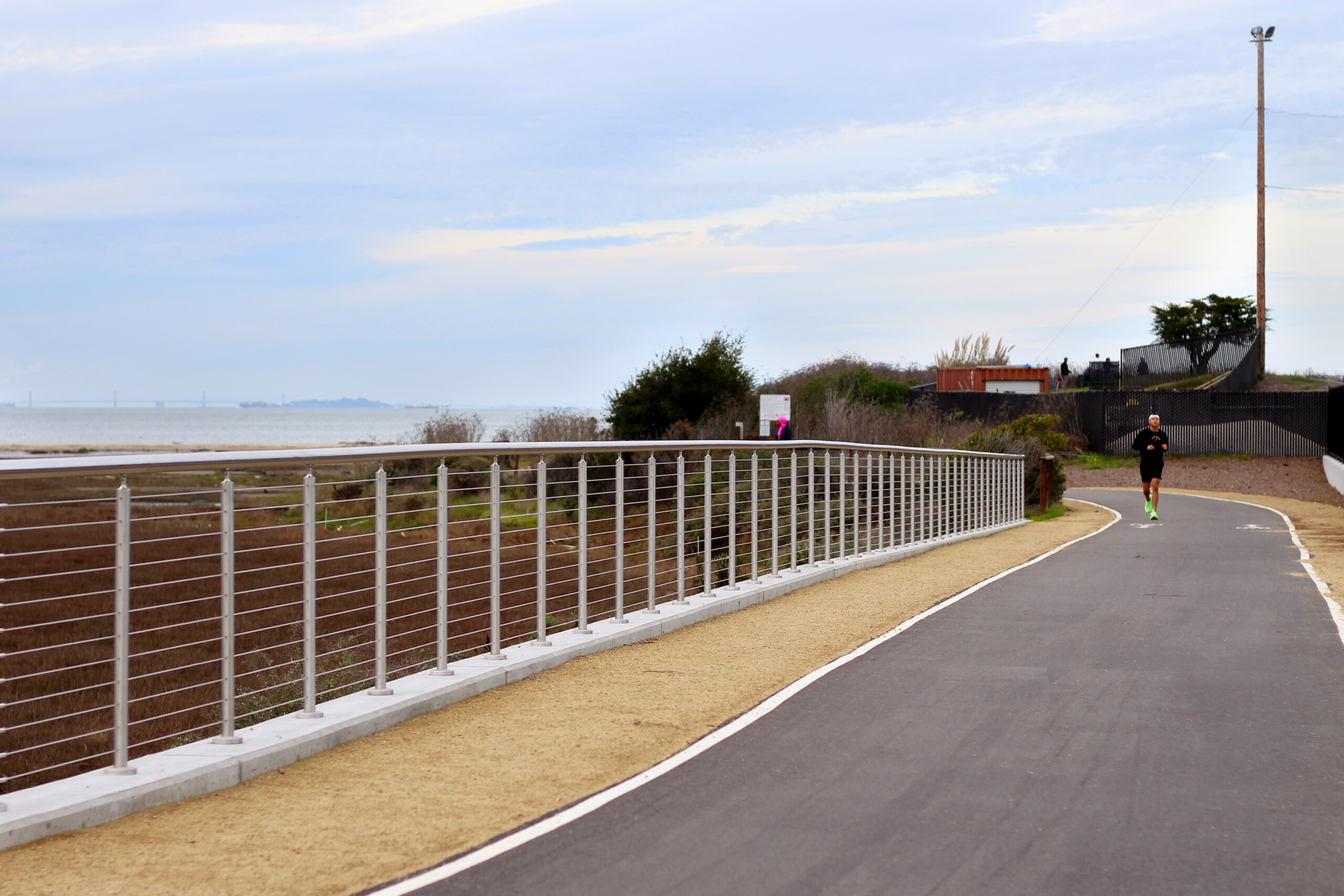
Photos of the Completed Project